
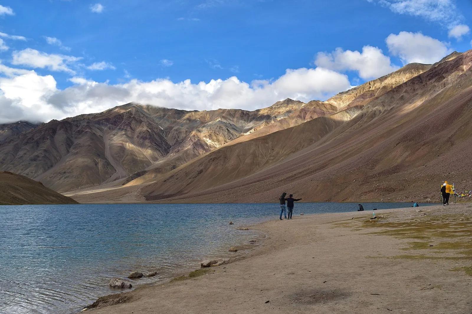
Chandratal Lake 2026: A Kinnauri Guide to the Eastern Approach
| Detail | Value |
|---|---|
| Altitude | 4,300 m / 14,100 ft |
| Status | Closed November to early June. Expected open late May to mid-June 2026. |
| Best route in | Kaza to Losar to Kunzum, 70 km, 3 to 4 hours |
| Camping at the lake | Banned. Ramsar wetland. Camps sit 3 to 5 km away. |
| Camp tariff | Rs 1,200 to Rs 2,500 per person per night |
| Entry fee | Rs 150 Indian, Rs 500 foreigner |
| Mobile signal | None. Last coverage at Losar or Sissu. |
| Dark sky rating | Bortle Class 1, the darkest possible |
| Fuel | Last pump at Kaza, 70 km away |
Most people who visit Chandratal think of it as a Manali day trip. They wake up at five in Old Manali, push through Atal Tunnel, lose three hours on the Gramphu to Batal stretch, arrive at the lake half-altitude-sick, take their photo, and leave. The lake gets one bad afternoon out of the visitor.
I am from Kalpa, on the Kinnaur side of the Hindustan-Tibet road. The way we go to Chandratal is different. We come up the Sutlej for two days, sleep at Nako, sleep at Tabo, sleep at Kaza, then drive the seventy kilometres to Kunzum and turn down to the lake on a body that has had four nights to learn what 4,000 m feels like. The lake gets a different person.
This guide is the eastern approach written down. It also covers the Manali side honestly, because plenty of you will come that way and the Atal Tunnel changed the math. But the headline up top stays: if you have an extra two days, do not enter from Manali. Come the long way through Kinnaur. Your trip will be better, your head will be better, and the lake will give you what it gives Kinnauris.
One housekeeping note before we start. As I write this in early May 2026, Chandratal is still under snow. Kunzum Pass has not opened. The BRO is working through the last of the winter clearance. The signal we are watching is a single update from the ADC Lahaul office and the BRO Manali subdivision; both usually post mid-May. Plan around the second week of June for a full-confidence trip and treat anything earlier as a gamble where the gamble is your road.
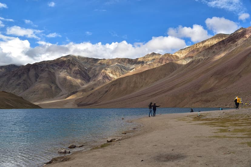
Photo: the lake from the eastern shore
2026 opening: when the gate actually swings
The Chandratal season is short, four months in a good year. Here is the realistic 2026 calendar based on BRO history, the Lahaul tourism notifications, and the Chandratal road status pages that are tracking it right now.
| Period | Status | What is happening |
|---|---|---|
| Jan to mid-May | Closed | Kunzum Pass and the Batal-Chandratal track are buried. Atal Tunnel is open, but only as far as Sissu and Keylong for residents in 4x4 with chains. |
| Late May 2026 | Opening window starts | BRO clears the Kaza side first. Some 4x4 traffic on the eastern approach. No camps yet. |
| Early to mid-June | Both routes open | Manali side via Gramphu-Batal opens 1 to 2 weeks after the Kaza side. First camps come up. Surface still rough. |
| Late June | Fully running | All camps operational. Wildflowers starting. Crowds thin. |
| July to August | Peak | Warmest weather, 12 to 15 C day, 0 to 5 C night. Wildflower meadows at full burn. Most camps booked. Some monsoon road risk. |
| September | Golden window | Clearest skies, best stargazing, autumn light. Crowds thin. Cold nights, minus 5 to minus 10 C. |
| Early October | Last call | Camps shut. First snowstorms possible. Day visits only. |
| Mid-Oct onwards | Closed | Kunzum snows in. Season over until next June. |
Reference for what to expect: in 2024, the Chandratal road from the Kunzum side ran officially from June 15 to October 5. That is a representative year. 2025 came online a week earlier on the Kaza side. 2026 will probably split the difference and open between May 28 and June 15, depending on what the next two weeks of weather do at Kunzum.
If you want a real-time signal, three sources matter. The BRO Beacon Manali subdivision posts road clearance updates. The Lahaul-Spiti district administration uploads notifications under hplahaulspiti.nic.in. And travel operators on the Manali-Kaza loop, especially Spiti Valley Packages and Discover with Dheeraj, mirror the BRO updates faster than the BRO itself does. Check those three before you leave Delhi.
The honest 2026 status as of early May: Kunzum is still under snow. Atal Tunnel is open year-round to Keylong. Manali to Sissu is fine. Beyond Gramphu, beyond Kaza past Losar, beyond Jispa toward Baralacha, all closed. Stop checking the camp Instagrams every Sunday. The opening will be announced. Plan around the second week of June and treat earlier dates as soft.
The eastern approach: why Kinnauris do it slowly
If you have not been to Spiti before and you are starting your trip with Chandratal in mind, here is the rung that most blogs leave out. The smartest entry into Chandratal does not start in Manali or in Kaza. It starts at Reckong Peo on the Kinnaur side, two and a half driving days before the lake.
The reason is altitude. Manali sits at 2,050 m. Chandratal sits at 4,300 m. If you push from Manali to Chandratal in one day, your body has to lift 2,250 m and stay there overnight. That is the textbook recipe for AMS, and the camps will tell you, off the record, that one or two visitors per peak weekend get evacuated for it.
The Kinnaur ladder works differently. Reckong Peo at 2,670 m. Nako at 3,625 m. Tabo at 3,280 m. Kaza at 3,800 m. Kibber at 4,270 m if you want the perfect rung. By the time a Kinnaur traveler arrives at Kunzum Pass, they have slept four to five nights between 2,600 m and 4,300 m. Kunzum is a non-event for them. The lake is what they came for, not what they survived.
Here is the catch the Manali-side guides do not tell you. You can do Reckong Peo to Chandratal in three driving days and exit via Manali and Atal Tunnel. You do not have to come back the way you came. So the acclimatization investment is a one-way investment. You do it once, and you cash it in for a Chandratal trip that does not give you a headache.
The Negi rule of thumb: if you have nine days, do not do a Manali-Chandratal day trip. Do a Shimla to Reckong Peo to Kalpa to Tabo to Kaza to Chandratal to Manali loop. Same total days, but every night your body slept higher than the previous one, and the lake gets you when you are ready for it.
Two routes, compared honestly
| Factor | Eastern (Kaza-Kunzum) | Western (Manali-Atal-Batal) |
|---|---|---|
| Distance | 70 km | 110 to 125 km |
| Driving time | 3 to 4 hours | 6 to 8 hours |
| Worst section | Kunzum approach, 9 km of dirt | Gramphu to Batal, 47 km of broken road, water crossings |
| Altitude gain on the day | 500 m from Kaza | 2,250 m from Manali |
| AMS risk | Low if you slept in Spiti | High in a single push |
| Fuel | Last pump Kaza, 70 km from lake | Last pump Manali, 100+ km from lake |
| Permits | E-Aagman + Sumdo SADA Rs 500 if 4x4 | E-Aagman, no Rohtang needed via tunnel |
Eastern route, segment by segment
| Segment | Distance | Time | What it is like |
|---|---|---|---|
| Kaza to Losar | 55 km | 2 hours | Wide Spiti valley. Tarred but patchy. Last decent food at Losar. |
| Losar to Kunzum Pass | 10 km | 45 min | Steep climb through hairpins. 4,551 m at the pass. |
| Kunzum to Chandratal turnoff | 14 km | 40 min | Drop into Chandra valley. |
| Turnoff to Chandratal | 9 km | 1 hour | Rough dirt track, 4x4 ideal. Last 2 km on foot from car park. |
Western route, segment by segment
| Segment | Distance | Time | What it is like |
|---|---|---|---|
| Manali to Atal Tunnel south portal | 25 km | 45 min | NH-3, well surfaced. The tunnel itself is 9.02 km and takes 15 minutes. |
| Sissu to Gramphu | 20 km | 30 min | Lahaul valley along the Chandra. Mostly good. |
| Gramphu to Chattru | 25 km | 1.5 hours | Surface deteriorates. First water crossing here. |
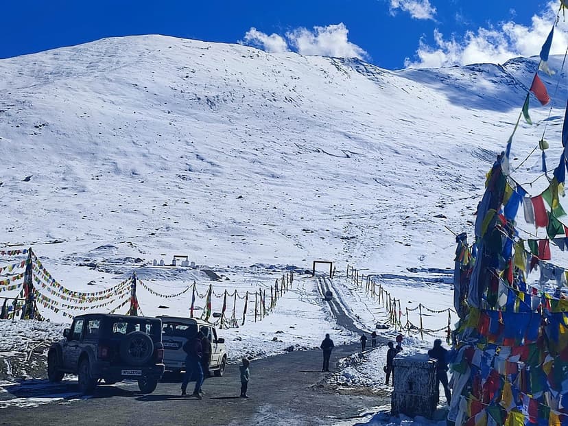
| Chattru to Batal | 22 km | 2 hours | The infamous stretch. Loose rocks, narrow shoulders, four to six river crossings depending on melt. |
| Batal to Chandratal | 14 km | 1 hour | Dirt track climb to the lake. |
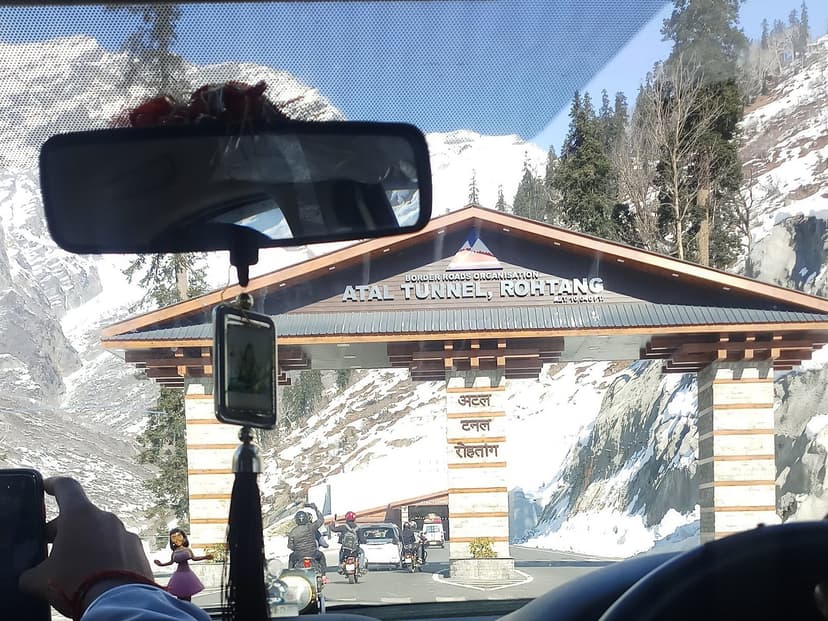
If you must come from the Manali side, do not do it as a day trip. Sleep at Sissu or Keylong on the way out, sleep at Batal on the way back. The Gramphu-Batal road takes the day from you whether you like it or not, and dropping back to 3,000 m for a night does more for your headache than any pill.
Camping at Chandratal: the rule that gets people fined
NO LAKESIDE CAMPING. Chandratal is Ramsar Site 1569, one of only three Ramsar wetlands in all of Himachal Pradesh. Pong Dam and Renuka are the other two. The Koksar Panchayat enforces a no-camping zone within a fixed perimeter of the lake. There are spot fines. There is also a recent UNESCO Cold Desert Biosphere Reserve designation that adds a second layer of protection. You camp away from the water and you walk to it. That is the deal.
Every camp you read about online is set up between three and five kilometres from the lake. You park at the camp, you sleep at the camp, you walk or drive a stretch in the morning to a parking strip, and you cover the last bit on foot. The lake is for visiting. The shore is not for sleeping.
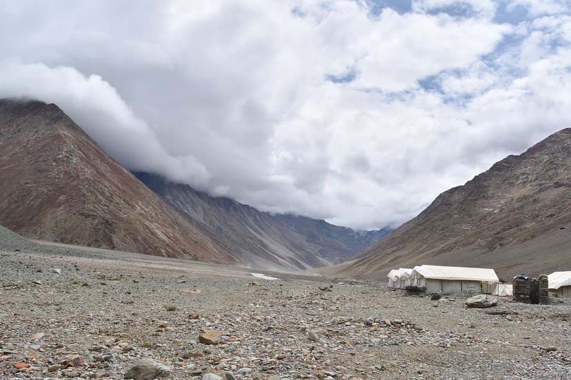
Commercial Swiss tent camps
Most visitors stay in Swiss tent camps. You pay between Rs 1,200 and Rs 2,500 per person per night. That gets you a tent with two cots, mattresses, a pile of quilts, two basic vegetarian meals, drinking water, and a shared dry pit toilet. There is no electricity. Some camps have a single solar lamp in the dining tent and that is it.
The four operators that show up consistently in 2026 traveler reports:
- Moonlake Camps, on the Chandra side of the camping zone. Imported Swiss cottage tents, hot water on demand. Standard tariff Rs 1,800 to Rs 2,500. Booking via moonlakecamps.in.
- Kabila Nature Camp, with the largest seating area for stargazing nights. Rs 1,500 to Rs 2,200. Booking via kabilanaturecampchandratal.com.
- Samsong Chandratal Camps, attached bathrooms in the higher tier. Rs 1,500 to Rs 2,400. Booking via samsongchandratalcamps.com.
- Parasol Camps, on the Batal end. The cheapest of the four, Rs 1,200 to Rs 1,800. Walk-in availability is more reliable here in early June.
Three things to know before you book. One, walk-ins exist in the first two weeks after opening, but call ahead from Kaza or Sissu to confirm the camp is actually up. Some years they pitch late. Two, peak July weekends fill out a fortnight ahead, especially after a long monsoon weekend in Delhi. Three, almost every camp will quote a higher rate to a tour operator than to a direct caller. Phone the camp, do not go through a Mumbai aggregator.
Self-camping
You can pitch your own tent in designated zones, usually beside one of the commercial camps for Rs 300 to Rs 500 per pitch (you also use their toilet). You bring everything else. Stove, fuel, food, sleeping bag rated to minus 10 C, water purifier or treatment tablets, a headlamp with two sets of spare batteries, and the discipline to pack out every single piece of waste you bring in. The lake's ecology is not abstract. Last year three rolls of Maggi packets were pulled out of an alpine bush along the trail. That is the discipline.
The black mirror: stargazing at 4,300 m
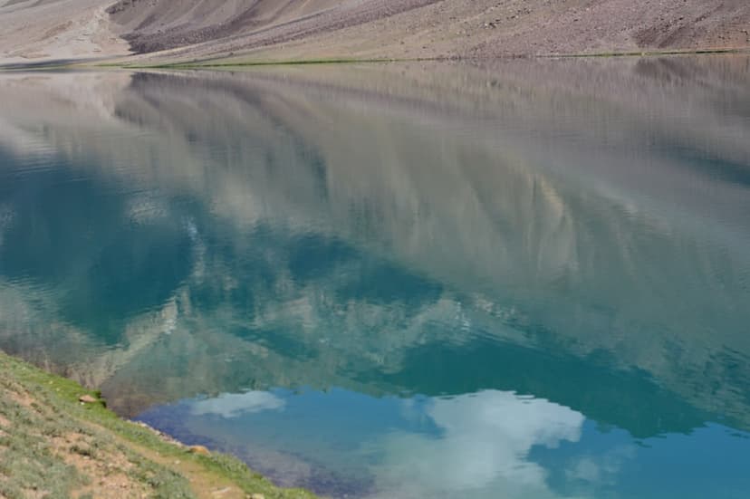
Bortle Class 1 is the darkest sky rating that exists. Hanle in Ladakh holds it. Chandratal holds it. There are perhaps a dozen places in India that hold it. The reason Chandratal is the most accessible of those: no settlement nearby, no electricity in the camping zone, no streetlights for forty kilometres in any direction, and the lake itself acts as a second sky, mirroring the first.
Ive seen stars at most parts of northern India, Pangong, Tsomoriri, Kaza, Jaisalmer, but never seen stars as beautiful as I saw in Chandratal. You could see the Milky Way from the naked eye itself.
u/gaurav_kumrawat, r/SoloTravel_India
The black mirror effect happens on still nights, usually between one and three in the morning, when the surface goes glass-flat and the Milky Way reflects in it so completely that the boundary between water and sky disappears. Photographers come for this. So do people who have never owned a telescope.
Best window for 2026: late August around the Perseids, peak August 12 to 13, which coincides with a new moon week. A hundred-plus meteors per hour at Bortle Class 1 is a once-a-decade combination. The September new moon week, around September 10 to 13, runs a close second and the air is even clearer because the monsoon dust has settled by then.
If you are bringing a camera: wide angle, f/2.8 or wider, ISO 3200 to 6400, exposure 15 to 25 seconds. Bring three extra batteries and keep them in your jacket against your body. Cold at 4,300 m drains lithium cells in a third of the time you expect. A red-filter headlamp is the difference between a night that works and a night where everyone in camp has lost their night vision by 11 pm.
A campsite near Chandratal Lake. Middle of nowhere, just Swiss tents. But if you would look up in the sky, youd see Magic. The stars calling out for you, the Milky Way easily identifiable. You stare at it and your mind would stop. Hypnotic.
u/Dzepo_, r/indiasocial
For a complete HP dark-sky guide that ranks Chandratal against seven other Bortle-clean locations, see our Himachal Pradesh stargazing guide.
The walk to the lake
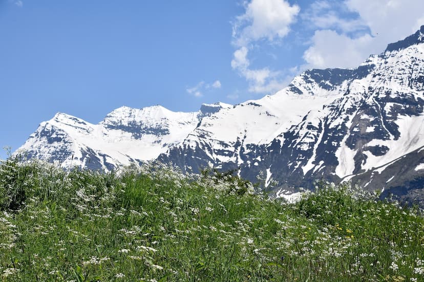
From the camp parking strip to the lake is between 1.5 and 2 kilometres on foot, depending on which camp you slept at. Most visitors think of this as logistics. It is not. The walk is the lead-in to the lake, and rushing it costs you the moment of arrival.
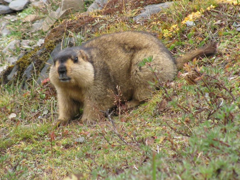
The trail moves through three things in sequence. First, the alpine meadow, which in July and August is full of small white and yellow blooms and a rolling carpet of grass. Second, the marmot belt, where Himalayan marmots sit at the mouths of their burrows, whistle warnings at you, and refuse to move out of the way. Third, the ridge.
The lake is hidden in a depression. You climb a gentle ridge, follow the cairns, and the crescent water appears below you in one moment. The reveal is sudden enough that everyone stops walking. Best timing for that moment is between six and seven in the morning, before any wind picks up, when the surface is still mirror-flat. By midday the wind starts and the reflection is gone for the rest of the day.
Batal and the Chandra Dhaba
Batal is not a town. It is a junction at 3,960 m where the Spiti road meets the Chandratal track, with three or four tin-roofed dhabas in a row. Of those, the one everyone calls the Chandra Dhaba is the famous stop. Hot rajma-chawal and Maggi for travelers coming up exhausted from the Gramphu side. Sleeping bag space on the kitchen floor for Rs 200 to Rs 500 if you are stranded by weather.
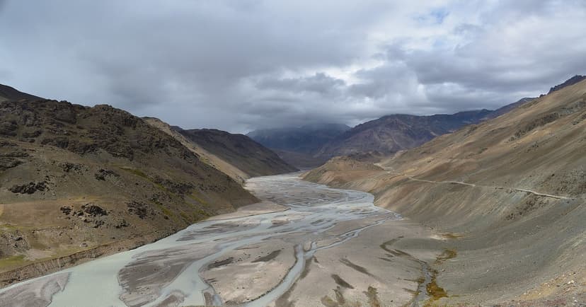
If you are coming from Manali and the Gramphu-Batal road slows you down, Batal is your buffer. If you are coming from Kaza, Batal is the photo stop with the best chai for fifty kilometres in either direction. Either way, it is not skippable.
NO FUEL at Batal or Chandratal. Last petrol pump is at Kaza on the eastern side, or back in Manali on the western side. Carry a 5 to 10 litre jerry can. The Spiti loop without a jerry can is the single most common mistake on this entire route.
The route, mapped
Permits and fees: 2026 reality
| Permit / fee | Who needs it | Cost | Where |
|---|---|---|---|
| Chandratal entry | All visitors | Rs 150 Indian, Rs 500 foreigner | Pay at the entry barrier or via your camp operator |
| E-Aagman registration | All vehicles into Lahaul-Spiti | Free | eaagman.hp.gov.in |
| Sumdo SADA fee | 4x4 expedition vehicles entering Spiti from Kinnaur | Rs 500 | ADC office Kaza or Tabo, prior permission per Feb 2026 SADA notification |
| Inner Line Permit (PAP) | Foreigners only, for Sumdo to Tabo restricted stretch | Rs 250 to Rs 400 | SDM Reckong Peo or SDM Kaza |
| Rohtang Pass permit | Only if you take the old Rohtang road | Rs 550 | rohtangpermit.hp.gov.in |
The most common confusion: you do not need a Rohtang permit if you are using the Atal Tunnel. The tunnel bypasses Rohtang entirely. The Rohtang permit is only for the old summer-only road, which is open from June to October but only as a tourist scenic detour.
Sumdo is worth a sentence on its own. The SADA (Spiti Area Development Authority) confirmed in a February 2026 notification that 4x4 expedition vehicles entering Spiti from the Kinnaur side must obtain prior permission from the ADC-cum-Member Secretary at Kaza or Tabo, and the fee is Rs 500. This is enforced at the Sumdo checkpost. If you are in a regular sedan or hatch, this does not apply. If you are in a Thar, an Endeavour, a Land Cruiser, or any tour-operator XL convoy, get the permission first.
For the full Himachal permit matrix including GHNP fishing permits, drone notifications, and the Beyond Rohtang rules, see our Every Permit in HP 2026 guide.
Packing for 4,300 m
The non-negotiables: down jacket and thermal layer regardless of season, sleeping bag rated to at least minus 10 C if self-camping, two power banks fully charged before Manali or Kaza, headlamp with backup batteries, Rs 5,000 to Rs 10,000 in cash, government ID, offline maps downloaded for Lahaul and Spiti, and a 5-litre water bottle. There is no electricity at Chandratal. There is no UPI. There is no signal. Plan accordingly.
Clothing
- Thermal inner top and bottom
- Fleece or down mid-layer
- Windproof outer shell, waterproof preferred for the Gramphu-Batal water crossings
- Wool cap, full-finger gloves, two pairs of warm socks
- Sturdy trekking shoes, ideally waterproof
Gear
- 2 to 3 power banks, fully charged before Manali or Kaza
- Headlamp plus 2 sets of spare batteries
- Sunglasses, sunscreen SPF 50 minimum
- Personal first-aid kit
- Diamox, after consulting a doctor
- Offline Google Maps and Maps.me downloaded
Stargazing extras
- Wide angle camera lens, f/2.8 or wider
- 3 spare batteries kept warm in your jacket
- Red-filter headlamp
- Hot water thermos
- A book and playing cards. There is nothing else to do at the camp after 8 pm, and that is the point.
Sample budget for the eastern approach
| Line item | Cost (INR) |
|---|---|
| Shimla to Reckong Peo HRTC bus | 650 |
| Two nights Kalpa homestay | 2,400 |
| Reckong Peo to Kaza shared sumo | 1,500 |
| Three nights Kaza guesthouse | 3,600 |
| Kaza to Chandratal taxi (return, shared) | 3,500 |
| Two nights Chandratal Swiss tent | 4,000 |
| Chandratal entry fee | 150 |
| Manali exit shared taxi from Batal | 1,500 |
| Two nights Manali | 3,200 |
| Manali to Delhi Volvo | 1,500 |
| Food across all stops | 1,500 |
| Total per person, 9 day trip | 23,500 |
That is for solo or shared travel. A couple sharing taxis and rooms can drop the per-person number by Rs 4,000 to Rs 5,000. A group of four can do the whole loop for under Rs 18,000 a head. If you are doing the Manali-only day trip, the budget compresses to about Rs 8,000 to Rs 10,000 (one Manali night, one camp night, return) but you trade the saving for the AMS risk and a much harder driving day.
Chandratal vs Pangong: which do you actually want?
| Factor | Chandratal (HP) | Pangong (Ladakh) |
|---|---|---|
| State | Himachal Pradesh | Ladakh |
| Altitude | 4,300 m | 4,350 m |
| Size | 2.5 km circumference | 134 km long |
| Shape | Crescent (Lake of the Moon) | Long ribbon |
| Water color | Turquoise to blue-green | Famous changing blues |
| How close you sleep | 3 to 5 km away. Walk in. | Right at the lakeshore |
| Stargazing | Bortle Class 1, lake-mirror | Good but some camp light pollution |
| Permit | Entry fee + E-Aagman | Inner Line Permit (ILP) required |
| Season | Late May to early Oct | May to Sep |
| Crowds | Moderate, mostly campers | Very high, Bollywood pilgrim crowd |
| Best for | Quiet, dark sky, the Spiti circuit | The Ladakh-circuit Instagram lake |
| Vibe | Last campfire before the edge of the world | The lake from the movies |
Pick Chandratal if you want quiet, raw, and the cleanest stars in India. Pick Pangong if you want the Ladakh circuit and the lake you have seen in films. They are different trips. The first costs you nine days from Delhi and gives you Spiti. The second costs you twelve days and gives you Leh.
Altitude sickness at 4,300 m: the protocol
4,300 m is serious altitude. Acute Mountain Sickness (AMS) is the actual risk on this trip, more than the road, more than the cold, more than the dirt track. Three to five percent of visitors who push from Manali to Chandratal in one day need an evacuation. Most are not severe. Some are. Take this section seriously.
Prevention
- Acclimatize before the lake. Two to three nights at Kaza (3,800 m) is the minimum. Add a night at Kibber (4,270 m) if you can. If coming from Manali, sleep at Sissu or Keylong on the way out.
- Hydrate aggressively. Four litres of water per day at altitude. Dehydration is the single most common AMS trigger.
- No alcohol. Not the night before, not at camp, not the morning after. This is not a guideline. Alcohol at 4,300 m guarantees a headache and broken sleep.
- Diamox if your doctor approves. 125 mg twice a day starting 24 hours before reaching high altitude. Side effects include tingling fingers and frequent urination. Both are normal.
- Do not rush the day. The single biggest mistake is the Manali to Chandratal one-shot drive. Six to eight hours of stop-and-start, 2,250 m of altitude gain, and you have no acclimatization buffer.
Warning signs
Persistent headache that does not respond to paracetamol. Nausea or vomiting. Dizziness, confusion, slurred speech. Difficulty breathing at rest. The serious signs of HAPE or HACE are gurgling breath, blue lips, and being unable to walk straight. Those are medical emergencies.
What to do
- Mild AMS (just a headache and tiredness): rest, hydrate, wait six to twelve hours. Most people improve.
- Moderate AMS (vomiting, sleep disrupted): descend 500 to 1,000 m immediately. Drive to Batal at 3,960 m or back to Kaza at 3,800 m.
- Severe AMS: evacuate to Manali or Kaza without delay. This can be fatal at 4,300 m. The camp staff have local taxi contacts. Use them.
Frequently asked questions
When does Chandratal Lake open in 2026?
Expected late May to mid-June 2026, depending on snowfall and BRO clearance of Kunzum Pass. The Kaza side typically opens 1-2 weeks before the Manali side. The 2024 official window was June 15 to October 5; 2026 will likely fall in a similar range. Check BRO Beacon Manali subdivision and the Lahaul-Spiti district administration site for live updates.
Can I camp at Chandratal Lake?
No, lakeside camping is banned. Chandratal is Ramsar Site 1569 and the Koksar Panchayat enforces a no-camping zone with spot fines. All commercial Swiss tent camps sit 3-5 km from the lake at Rs 1,200-2,500 per person per night. Self-camping is allowed only in designated zones near commercial camps.
How far is Chandratal from Manali?
110-125 km via the Atal Tunnel route, taking 6-8 hours. The route runs Manali to Atal Tunnel to Sissu to Gramphu to Chattru to Batal to Chandratal. The Gramphu-Batal stretch is rough with multiple water crossings.
How far is Chandratal from Kaza?
Approximately 70 km, taking 3-4 hours. Route: Kaza to Losar (55 km) to Kunzum Pass (10 km) to the Chandratal turnoff (14 km past the pass) to the lake (9 km on a rough dirt track). The eastern route is shorter, less brutal, and lower-AMS-risk than Manali.
What is the entry fee for Chandratal Lake in 2026?
Rs 150 for Indian nationals and Rs 500 for foreign nationals. Free E-Aagman vehicle registration is mandatory for all visitors. 4x4 expedition vehicles entering Spiti from Kinnaur side pay an additional Rs 500 SADA fee at Sumdo, per the February 2026 ADC notification.
What is the altitude of Chandratal?
4,300 metres or 14,100 feet. This is serious altitude. Acclimatize for at least 2-3 nights at Kaza (3,800 m) before visiting. Drink 4+ litres of water daily, avoid alcohol, and consider Diamox after consulting a doctor.
Can you see the Milky Way from Chandratal?
Yes. Chandratal has Bortle Class 1 darkness, the darkest possible rating. At 4,300 m with zero artificial light and no nearby settlement, the Milky Way is visible to the naked eye. On still nights, the lake reflects the stars creating a black-mirror effect. Best viewing: new moon nights, 1-3 AM, August and September.
What is the best time to visit Chandratal?
Late August (Perseids meteor shower August 12-13) and early-to-mid September (clearest skies, autumn light, post-monsoon dust settled). July-August is warmest with peak wildflowers but more crowds. Avoid late May (road may not be cleared, no camps yet) and October (snowstorm risk).
Is there mobile network at Chandratal?
No. Zero mobile network coverage and zero electricity at Chandratal and the surrounding camp zones. Last reliable signal is at Losar on the Spiti side or Sissu on the Manali side. Carry power banks, download offline maps before arriving, and inform family of your plans before leaving Kaza or Sissu.
Chandratal vs Pangong Lake, which is better?
Different trips. Chandratal (Himachal): smaller crescent shape, no development, Bortle Class 1 stargazing, lakeside camping banned, Spiti circuit. Pangong (Ladakh): massive 134 km lake, Bollywood-famous, semi-developed with cafes and lakeside camps, ILP required, Ladakh circuit. Chandratal for quiet and dark sky; Pangong for the Bollywood-famous Instagram experience and easier logistics from Leh.
The Spiti badlands on the way up
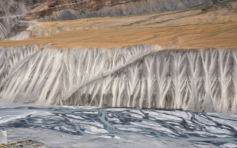
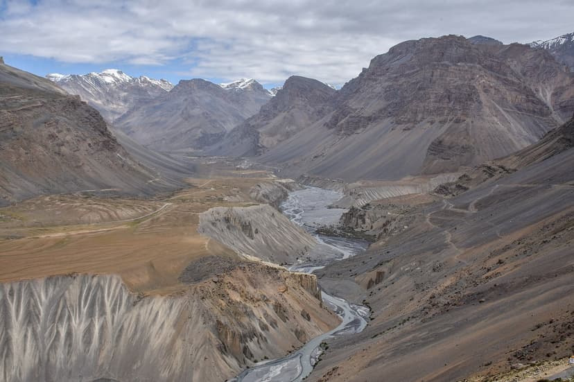
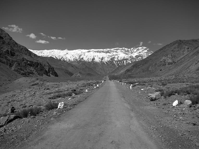
Spiti is a cold desert. The road from Kaza to Losar runs along this kind of erosion wall for forty-five kilometres, with the Spiti river braiding through the flats below. If you are coming from the green of Kullu and Manali, this is the landscape that tells you you have crossed into another country. If you are coming from Kinnaur, you have been in this country for two days already. Either way, the badlands are the part of the trip you remember on the drive home, even more than the lake.
Plan the rest of your Spiti trip with us
Chandratal does not work as a stand-alone day trip. It works as part of a Spiti circuit. If you are putting that circuit together, three other Refuje guides are direct cross-references:
- For the full Manali-Kaza-Manali loop with day-by-day breakdown, see our Spiti Valley road trip guide.
- For village-level coverage of the Spiti circuit (Tabo, Dhankar, Kibber, Komic, Hikkim, Demul), see our Spiti village by village guide.
- For the eastern approach via Kinnaur and the Sutlej road in detail, see our Kinnaur Valley complete guide.
If you have a date in mind for 2026 and want help building the itinerary around it, write to me at hello@refuje.com with your travel window. I read every email, and the Kinnaur side is where I plan trips from.
If you want one-line opening updates as the BRO clears Kunzum, the Lahaul ADC notifications go out fastest. Bookmark hplahaulspiti.nic.in. For booking enquiries on the four named camps, the camps themselves answer faster than aggregators. And if you have a question that is not in the FAQ above, drop a note to hello@refuje.com.
Sources
- Travel Coffee, "When Will Chandratal Open in 2026?", March 19 2026, travelcoffee.in
- Pannyfack India, "Chandratal Opening Date 2026", February 14 2026, pannyfackindia.com
- Bharat Explored, "Best Time to Visit Chandratal Lake", February 5 2026, bharatexplored.com
- Discover with Dheeraj, "Chandratal Lake Spiti Travel Guide", verified April 30 2026, discoverwithdheeraj.com
- Spiti Valley Packages, "Chandratal Road Status 2026", monthly updates, spitivalleypackages.com
- Discover Kullu Manali, "Atal Tunnel Highway Status 2026", January 30 2026, discoverkullumanali.in
- Travel and Tour World, "Reopening of the Atal Tunnel", February 9 2026, travelandtourworld.com
- Raacho Trekkers PDF, "SADA 4WD Entry Fee Office Order", February 2026, raachotrekkers.com
- Ramsar Sites Information Service, "Chandertal Wetland", Site 1569, rsis.ramsar.org/ris/1569
- HP Lahaul-Spiti district administration, road notifications, hplahaulspiti.nic.in
- E-Aagman vehicle registration portal, eaagman.hp.gov.in
- Vision IAS, "Cold Desert UNESCO Biosphere Reserve", September 2025, visionias.in
- Tripadvisor user review of Chandratal Lake, October 2024 trip via Kibber-Chicham-Kunzum route, tripadvisor.in
- Reddit voices: u/gaurav_kumrawat (r/SoloTravel_India), u/Dzepo_ (r/indiasocial)
You Might Also Like
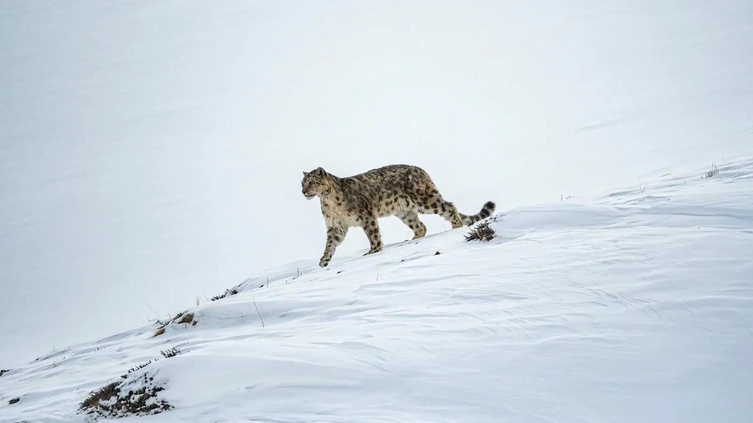
Snow Leopard Expedition in Spiti: Tracking Kibber's Ghost Cat
What a winter snow-leopard tracking trip to Kibber, Spiti is really like: honest sighting odds, the cost ladder, the conservation that funds it, the Kinnaur winter route, and how to view the cat without harming it.
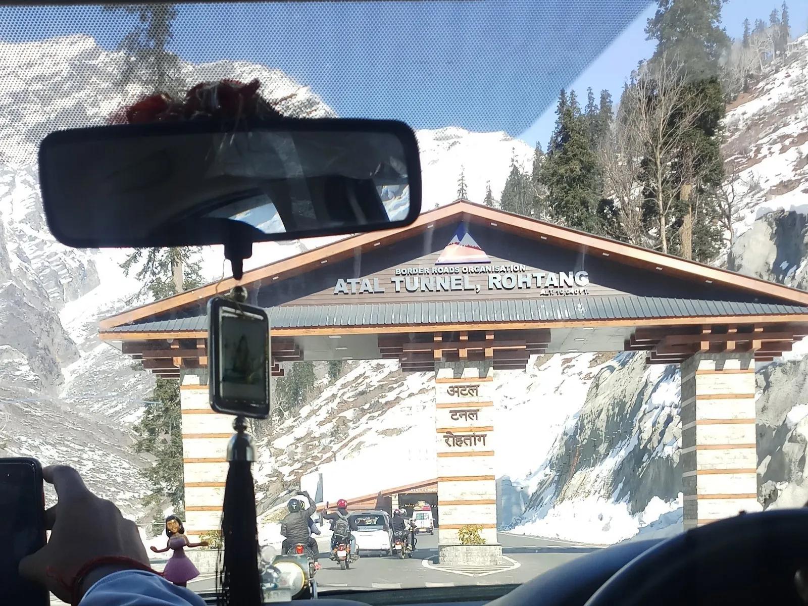
The Atal Tunnel: How One Tunnel Changed Lahaul Forever
Six hundred and twenty-two percent. That is what the Atal Tunnel did to tourism in Lahaul Valley. Before October 2020, Lahaul was six hours from Kullu and cut off six months a year. After October 2020, it became 45 minutes. A before-and-after of what one tunnel did to one valley, told by a Kullu local who has been driving through the portal since the month it opened.
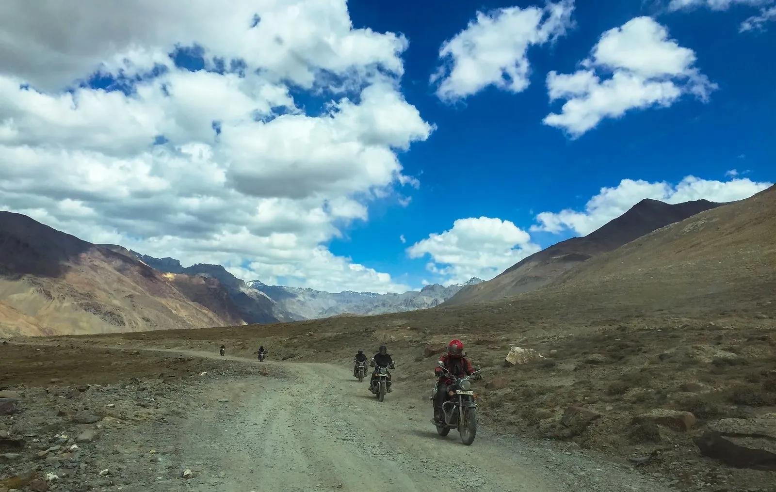
Spiti by Royal Enfield: The Complete Motorcycle Guide 2026
A Kinnauri riders guide to Spiti on a Royal Enfield. Which bike (411 vs 450 vs XPulse), where to fuel, jerry can math, spare parts, mechanic map, water crossing technique, Gramphu-Batal survival, and a 12-day Shimla-Kinnaur-Spiti-Manali loop that lets your body acclimatise properly. By Ajay Negi.