
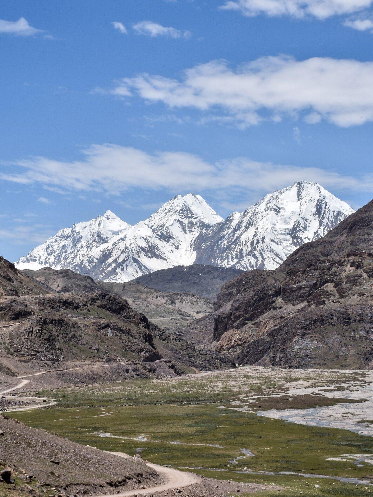
The Spiti road trip, by someone who actually drives it: Manali in, Kinnaur out
TL;DR. The Spiti road trip in eight lines
- Two ways in: Manali side (mid-June to mid-October only, dirt road, faster, prettier) or Shimla side via Kinnaur (open most of the year, longer, safer for first-timers and altitude). Going in one and out the other is the only way that makes sense.
- Indians need no permit. Foreigners need a Protected Area Permit, ₹250 at the Reckong Peo SDM office, ₹400 at Shimla. Take the Reckong Peo one if you can; the queue is shorter.
- One fuel pump in all of Spiti. Kaza, HPCL, the highest retail outlet in India. If you're driving, fill up there and carry a five-litre jerry can.
- Three working ATMs in Kaza. All of them are sometimes empty. Carry ₹15,000–20,000 in cash from Manali or Reckong Peo before you start.
- Only BSNL works past Reckong Peo. Jio gets you Kaza on a good day. Airtel: nothing.
- Spend at least two nights at every altitude jump. AMS is the thing that ruins more Spiti trips than the road does.
- Best months for the full circuit: mid-June to early October. Best for stargazing: late September new moon. The counter-intuitive secret is that July and August are dry here even when the rest of the country is drowning, Spiti sits in the rain shadow of the main Himalayan range.
- Budget for a 9–10 day full loop, two people sharing: roughly ₹35,000–50,000 by shared cab + homestays, ₹80,000–1,20,000 by private SUV.
Quick facts
- Best months: Mid-June to early October for the full circuit.
- Permits: Indians none, foreigners PAP ₹250 at Reckong Peo.
- Distance: Manali–Kaza 200 km, 10–12 hours real time.
- Altitude range: 2,200 m to 4,590 m.
- Cost (10 days, 2 ppl): ₹35,000–1,20,000 depending on style.
Two ways in. Pick the right one.
Most people who plan a Spiti trip make exactly one decision badly, and they make it before they leave home. They look at a map. They see Manali is closer to Kullu than Shimla is. They book a cab from Manali and assume that's that.
This is fine in July. It is a disaster in May, in October, and any week the weather goes sideways.
Here is the rule, the way every cab driver in Manali will tell you if you ask the right one:
The Manali side. Over Atal Tunnel, down through Lahaul, up over Kunzum La at 4,590 m, then down into Spiti at Losar. Is the shorter, more dramatic, more beautiful way in. It is also closed for half the year. Officially mid-June to mid-October. In practice, Kunzum opens whenever the BRO finishes clearing it, which has been anywhere between 15 May and 20 June in the last five seasons. It closes the moment the first proper snow falls in October. If you book a Manali-side trip in May or in late October, you are gambling.
The Shimla side. Up the old Hindustan-Tibet Road, the NH-5, through Narkanda, Sarahan, Reckong Peo, Nako, and into Spiti at Sumdo. Is open almost the entire year. It is the route the locals actually use in winter. It is longer (two full days minimum), the views build slowly instead of all at once, and you climb in altitude gradually, which your body will thank you for around day three.
The trip that makes sense for almost everybody is in one way, out the other. The classic version is Shimla in, Manali out. Climb gradually via Kinnaur, exit fast over the high passes when you're already acclimatised. The reverse works too if you're starting from Delhi by Volvo and need to land in Manali.
| Manali side | Shimla side | |
|---|---|---|
| Open season | Mid-June → mid-October | Year-round (with closures) |
| Distance to Kaza | 200 km | 410 km |
| Real driving time | 10–12 hours one day | 2 days, broken at Kalpa or Sangla |
| Altitude profile | Spikes hard at Kunzum (4,590 m) | Climbs gradually (Shimla → Kaza) |
| Best for | Acclimatised travellers in summer | First-timers, off-season, AMS-prone |
| Difficulty | Hard. Real off-road. | Moderate. Tarmac most of the way. |
What "open" actually means: the Atal Tunnel changed everything
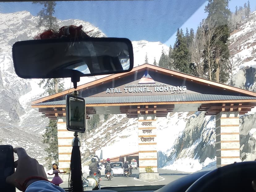
I grew up on the Kullu side, and I've been driving over the Rohtang stretch since long before the tunnel existed. The old way was nine hours of switchbacks in fog so thick the car in front of you was a pair of red brake lights and the suggestion of bodywork. After the tunnel opened, the same trip became forty-five minutes.
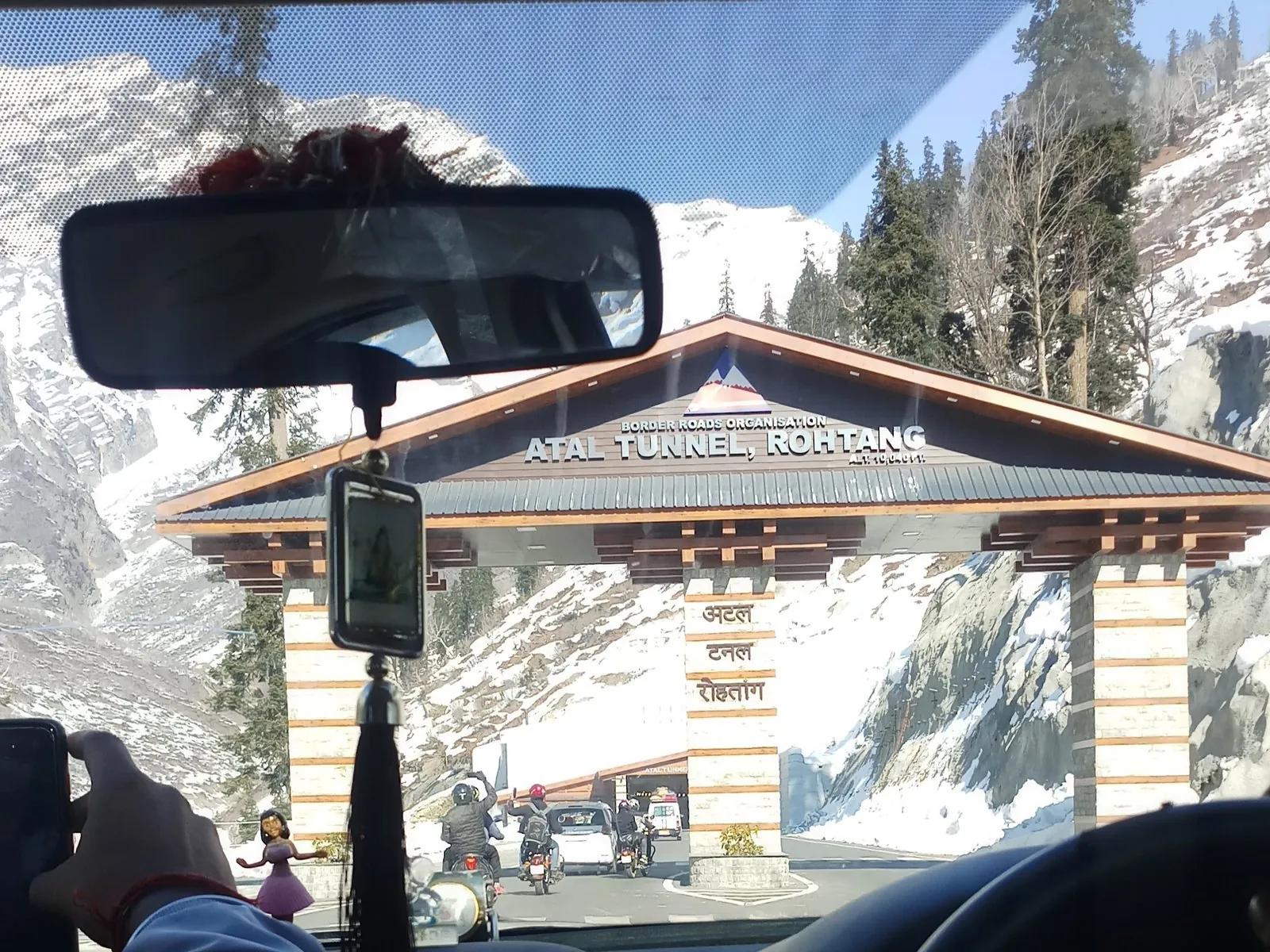
The tunnel changed the geography of this corner of the country. It is 9.02 km long, opened in October 2020, and runs under Rohtang Pass at 3,060 m. It cut Manali to Keylong from eight hours to one and a half. Manali to Sissu, which used to be a six-hour grind, is now three quarters of an hour of mostly straight road through a mountain.
For a Spiti road tripper this matters in two ways. First, you can leave Manali at 6 a.m. and be on the proper Spiti road by 8 a.m., which means a one-day Manali-to-Kaza dash is now a thing people actually do. Second. And this is the part the brochures don't mention. It has put a great deal more traffic onto a road system that was not built for it. Lahaul-Spiti district had 1.72 lakh tourists in 2018, the year before the tunnel. By 2024 it was 10.55 lakh. Five times the load on the same single-lane roads.
The tunnel is also the reason Spiti now has a day-tripper problem. People drive in over Kunzum, eat momos at Losar, take selfies, and turn around. Don't be those people. Spiti at altitude does not reward speed. The villages here are not stops on a checklist; they are places where time runs differently and you have to slow down to notice.
Lahaul is its own place. Most travellers blast through it in ninety minutes.
This is the part where most Spiti road trips lose something they will not get back.
Lahaul is the valley you cross between the Atal Tunnel and the Spiti turn-off at Gramphoo. On a map it looks like a corridor. In real life it is the bigger half of the Lahaul and Spiti district, the one with the green barley fields and the apricot trees and the Buddhist-and-Hindu mix of villages that Spiti does not have. The official Tibetan name for it is Gar Zha. Locally it is sometimes called the "land of passes" because every direction out of it is a four-thousand-metre col. The district headquarters for both Lahaul and Spiti is in Keylong, here, not in Kaza, and that is a fact most Spiti travellers never quite register.
The first village you reach coming out of the tunnel north portal is Sissu (also called Khwaling), at 3,120 m, on the right bank of the Chandra. It has a small artificial lake the BRO put in after the tunnel opened, a waterfall on the cliff above the village that is the closest "real" waterfall to Manali in any season, and a clear view of the Drilbu and Ghepan peaks across the river. In winter, when most of upper Himachal is closed, Sissu has become the place Manali day-trippers drive to for snow. In summer it is the place I tell people to spend an extra hour at on the way in, instead of the extra hour they always end up spending at the Atal Tunnel north portal taking selfies. Eat at one of the small dhabas behind the village square. Walk up to the waterfall. The road will still be there an hour later.
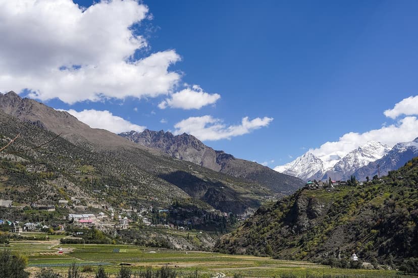
If you have an extra day in your trip, take it on the Lahaul side, not on the Spiti side. The detour I would do, in order: from Sissu, keep going north on the main Manali-Leh highway (do not turn at Gramphoo yet) for another forty minutes to Tandi. Tandi is where the Chandra coming down from Kunzum meets the Bhaga coming down from Baralacha, and from that exact point of confluence the river is no longer either of those two things. It is the Chenab, which then flows on through Jammu and into Pakistan and waters half of Punjab. There is one bridge, a small temple, and a viewing point you can stop at without anybody charging you anything. It is one of the few places in India where you can stand at the literal birthplace of a major river.
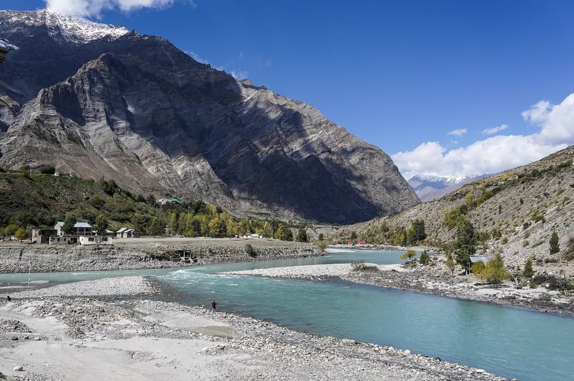
Five kilometres past Tandi is Keylong, the district HQ I mentioned. It has the only proper hospital between Manali and Kaza, the only ATM that is more reliable than the ones in Kaza, decent momos at half a dozen Tibetan-run cafes around the bus stand, and a Shashur monastery on the hill above town that gives you the best wide view of the Bhaga valley you will get on this whole trip. Sleep at Keylong if you are doing the Lahaul detour. Drop back south to Gramphoo the next morning, turn right, and pick up the Spiti road from there.
The shorter version, if you really cannot spare the day: at minimum, stop at Sissu for an hour. Drink chai, look at the waterfall, and remember that you are in Lahaul, not in some empty stretch of road on the way to somewhere better. Lahaul is the somewhere.
Gramphoo to Batal: the part nobody warns you about
Coming out of the Atal Tunnel into Lahaul, you drop down to the river at Sissu (lovely), and then about an hour later you reach a small T-junction called Gramphoo. Two dhabas, one police hut, no fuel. Going straight takes you to Keylong and Leh. Turning right takes you to Spiti.
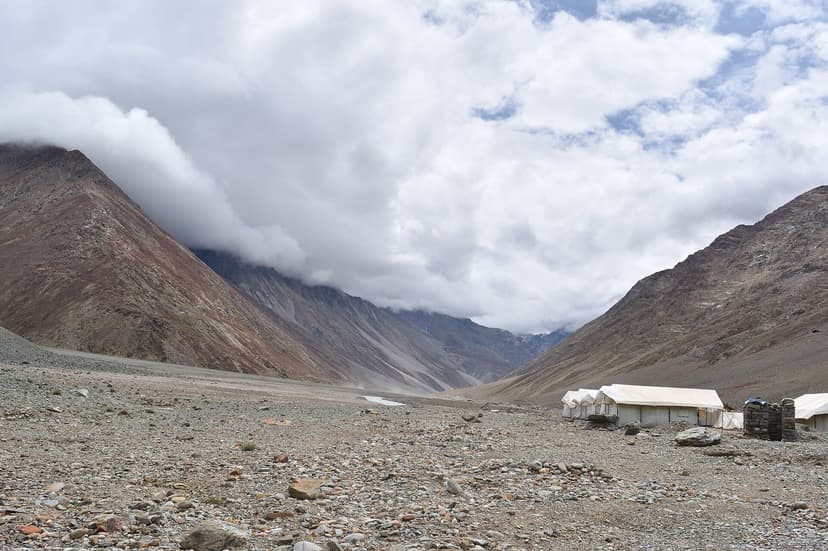
The right turn is also where the road stops pretending. Up until Gramphoo you've been on tar. After Gramphoo, for the next 75 kilometres or so, you are on what the BRO calls a "fair weather road" and what everyone else calls a dirt track with rivers running across it. This is the Chandra valley stretch. It is the prettiest part of the whole drive. Wide gravel braids, the river the colour of wet cement, snow peaks on both sides. And it is also the slowest. Plan three hours from Gramphoo to Batal, and add an hour for every nullah you have to ford.
"Nullah" here means a stream of glacial meltwater that crosses the road. By midday in summer, the volume is high enough that small cars get carried. The trick is to cross early, before the sun has worked on the snow upstream, and to cross fast. Locals will tell you that 9 a.m. is comfortably safe and 3 p.m. is risky. They are not exaggerating.
Batal itself is two dhabas at four thousand metres of altitude, on bare moraine, with the river hammering past in a stone-grey roar. The famous one is Chacha-Chachi Dhaba, run by an old couple who have been there since the 1980s, and who in winter 2018 were rescued by helicopter after seven feet of snow buried them. They came back the next summer. They are still there. Stop, eat dal-rice, drink black tea, do not try to skip this stop because there is nothing else for the next sixty kilometres.
Kunzum La and the first proper view of Spiti
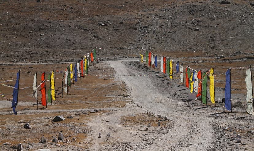
From Batal the road switchbacks up to Kunzum La, 4,590 m, and over. There is a small Mata temple at the top, ringed in prayer flags, with a single dirt loop around it. The local custom is that every vehicle does one slow clockwise circle of the temple before descending. Bus drivers do it. Truck drivers do it. The cab driver who has been doing this run for twenty years will not start the car until you have done it. You should too. It costs you ninety seconds and it is a small, useful gesture that says you understand whose place this is.
The view from the top is the moment Spiti finally introduces itself. To the south you see the Chandra valley you just climbed out of. To the east, for the first time, you see the wide brown bowl that is the Spiti basin. Flatter than you expect, paler than you expect, somehow both bigger and emptier than the photos suggest. Most travellers stand here for ten minutes and then say something like "okay, I get it now."
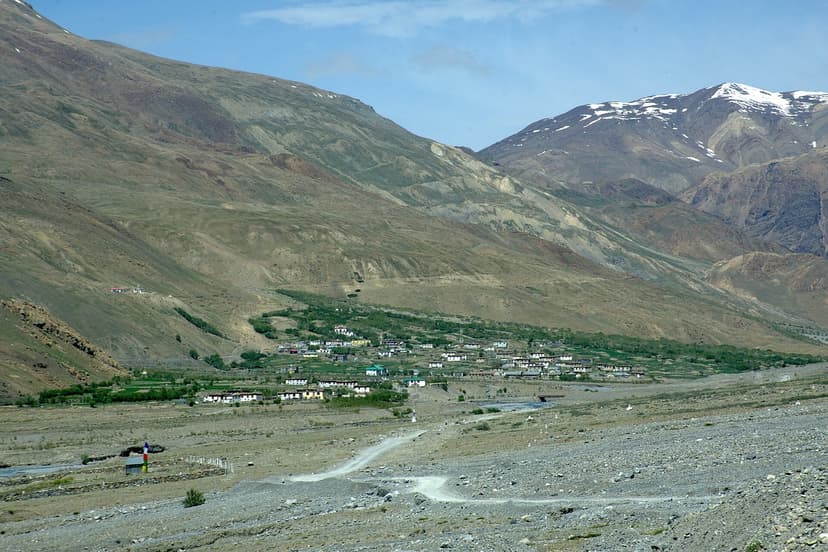
Down the other side and you reach Losar, the first inhabited village in Spiti. Mud houses, a few shops, two or three dhabas, a BSNL signal that comes and goes. The dhaba uncles here know the road status to Kaza better than any government website does. Ask before you keep driving. If they say there's a slide near Kioto, believe them; if they say it's clear, you're fine.
Losar to Kaza: what the road does to your car
Losar to Kaza is 56 km on paper. It is also a real four hours of driving on a normal day, because the road alternates between potholed tar, gravel, and stretches where the river has reclaimed half the carriageway. Hansa Bridge, Kioto, the long climb past Hal. None of this is tarmac in any way that would satisfy a city driver.
The advice from every taxi driver who runs the route, distilled:
- Never drive at night in Spiti. Not because of bandits. There are no bandits. Because shooting stones don't announce themselves, and because the road has no edges and no railings, and because if you go off it you will not be found until morning.
- Use engine braking on descents. Continuous braking on a 30 km descent will boil your brake fluid, and then you'll find out what brake fade feels like at 4,000 m, which you do not want.
- Cross water only in low gear, and don't stop. If the engine dies in a nullah, the cold will seize it before you've finished swearing.
- Google Maps lies in Spiti. The estimated travel times are based on tarmac speeds. Multiply by three. A 50 km section can easily be five hours.
And the one piece of advice that gets repeated more than any other, in every Reddit thread, in every WhatsApp group of self-driving Royal Enfield convoys, in every cab in Manali: some Einstein in your group will suggest that a swig of Old Monk will keep you warm at altitude. Do not listen to them. Alcohol at four thousand metres is the fastest known way to give yourself a splitting AMS headache.
Kaza is base camp. Plan two nights here.
Kaza is the only real town in Spiti. It is the district headquarters of the Lahaul-Spiti subdivision, it sits at 3,800 m on a wide bend of the Spiti river, and it is the place from which you do almost everything else. Two nights minimum, three is better.
The reason is logistical, not sentimental. Kaza is where you fill up the tank. The HPCL pump on the road into town is the only fuel pump in all of Spiti, and the highest retail petrol outlet in the country (HPCL Kaza, world's highest petrol pump). UPI payments work most days, cash always works, and the staff are used to anxious tourists asking how much further the next pump is (three hundred kilometres, in any direction, is the answer). It is also where the ATMs are: SBI, PNB, and Axis, all in the small market block, all of them prone to running dry on long weekends or losing power for an afternoon. Take cash out the moment one of them is working; do not wait until you need it.
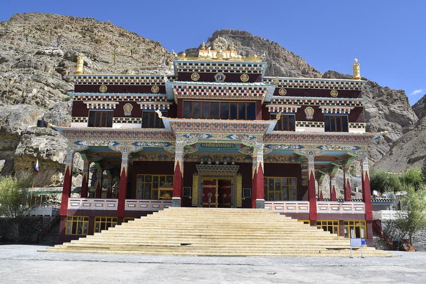
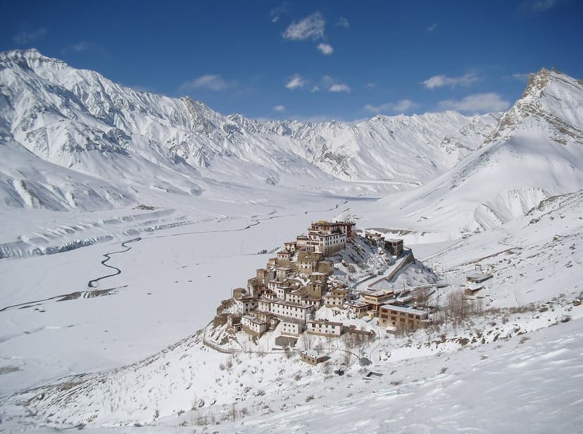
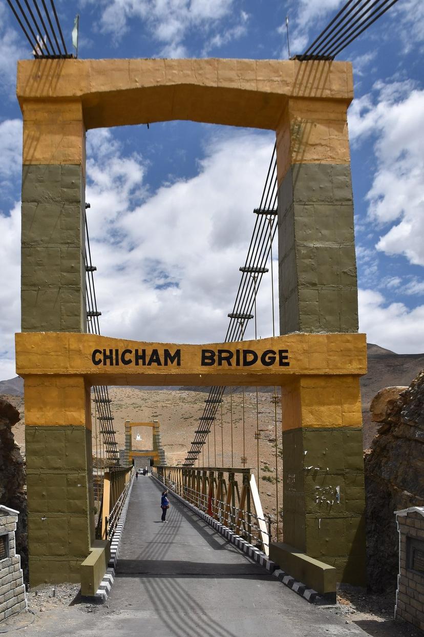
Beyond fuel and cash, Kaza is the launchpad for almost every half-day trip in Spiti. Key Monastery, the iconic gompa on its hill above the river, is forty minutes north. Kibber and the Chicham Bridge. The highest in Asia at 4,145 m. Are an hour up. Langza, Hikkim, Komic, the high villages, are a long morning loop east. None of these are overnight stops for most travellers; you do them out of Kaza and come back to a hot shower.
For the village-by-village breakdown. Which villages to actually stop at, which to skip, where to do the community-homestay nights. Read the companion piece: Spiti, village by village: an honest map of all 13 stops. That one is written from the Kinnaur side by my friend Ajay, who knows the eastern half of Spiti the way I know the Manali approach. Between the two articles you should have everything you need.
For accommodation, Kaza has a hundred small homestays and a handful of slightly more organised guesthouses. Sakya Abode is the original. Opened in the early 2000s by the Tsering family, twelve double rooms, dorm beds for the budget crowd, ₹1,500–2,000 a night. Deyzor Cafe and Homestay is the better-rated middle option. Anything more expensive is generally not worth it; this is not the place to look for luxury and the places that pretend to be are mostly disappointing.
The Chandratal detour, and when not to do it
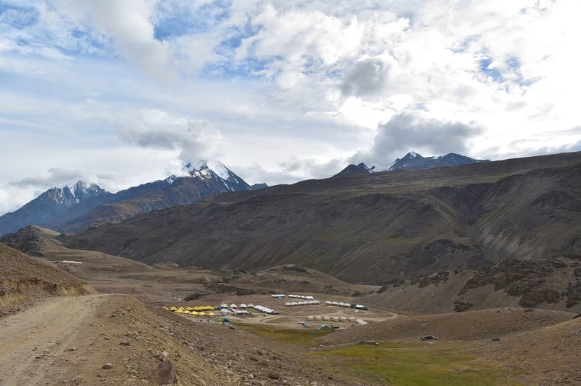
Chandratal, Chandra Taal, "Moon Lake". Is a high glacial lake in the upper Chandra valley, sitting at about 4,300 m, and it is the most photographed spot in Lahaul. It is also a serious detour: you turn off the main Manali-Kaza road at Batal, climb fourteen kilometres on a track that is honestly worse than what you've already done, and then you camp.
Three things to know before you commit:
- Camping at the lake itself was banned in 2014 after years of garbage and fragile-ecosystem damage. The campsites are now around a kilometre below the lake, on the moraine flat. You walk up to the lake at sunrise and at sunset; you do not sleep on its edge any more, and that is a good thing.
- The lake opens around mid-June and closes by mid-October. Outside that window the road in is impassable and the campsites are shut.
- It costs you a full day, in and out. Don't do it on the same day you cross Kunzum from Manali. Either come up for it as a separate detour from Kaza, or build it into the day you cross Kunzum going the other way (Spiti out, Manali back). One night up there is enough; two is better only if the weather is being kind.
If you do go, the reward at sunrise. The lake going from black to grey to a colour that is somewhere between turquoise and the bottom of a swimming pool. Is genuinely worth the discomfort of sleeping at 4,300 m on cold ground. If you don't go, you have not failed your Spiti trip. The valley itself is enough.
East from Kaza, and the back door out via Kinnaur
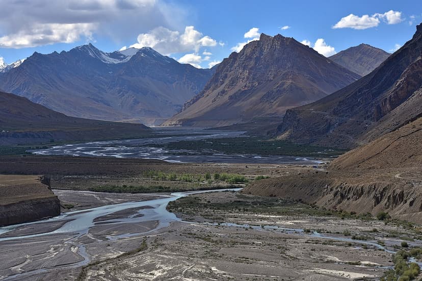
From Kaza, the road south follows the Spiti river through a slow, wide, brown landscape that does not look like anywhere else in India. Tabo, the next big stop, is two and a half hours away. Its monastery was founded in 996 CE. The building is older than most of the European cathedrals you've heard of, the wall paintings inside are intact, and it is the oldest continuously functioning monastic site in India (Tabo Monastery, founded 996 CE). From the outside it is a few low mud-walled buildings on a flat plain. From the inside it is one of the most extraordinary rooms in the country.
Past Tabo, the road continues to Sumdo, which is officially the boundary between Spiti and Kinnaur. There is a small police checkpost here. Indians wave through; foreigners show their PAP. On February 13, 2026, the office of the Additional Deputy Commissioner cum SADA, Kaza and Tabo, issued an order imposing a ₹500 entry fee on all 4WD vehicles entering Spiti through the Sumdo army check post (notification text via Raacho Trekkers). 4WD owners are technically required to take prior permission from the ADC Kaza office. In practice the rule is being enforced loosely. Confirm with your driver before you cross. Either way, this is also where the road suddenly becomes proper tar again. After ten days of dirt, the first hundred metres of smooth black tarmac in Kinnaur is one of the small physical pleasures of the trip.
Past Sumdo you climb to Nako, a Kinnauri village at 3,660 m with a small turquoise lake and an eleventh-century Padmasambhava temple complex. Nako is the standard overnight stop on the way out. The next day takes you down through the Hangrang valley to Reckong Peo, the Kinnaur district HQ. Full ATMs, full mobile signal, real food, the SDM office where foreigners can extend or pick up permits if they need to. From Peo it is half a day to Sarahan and the night, and another half-day from Sarahan to Shimla. Three days from Kaza to Shimla in total, comfortably done.
For the village-level detail of the eastern half, Tabo's interior, the Dhankar fort village hanging off a cliff, the back-door Padmasambhava sites at Nako and Gue. Read the village guide. I won't try to compress it here.
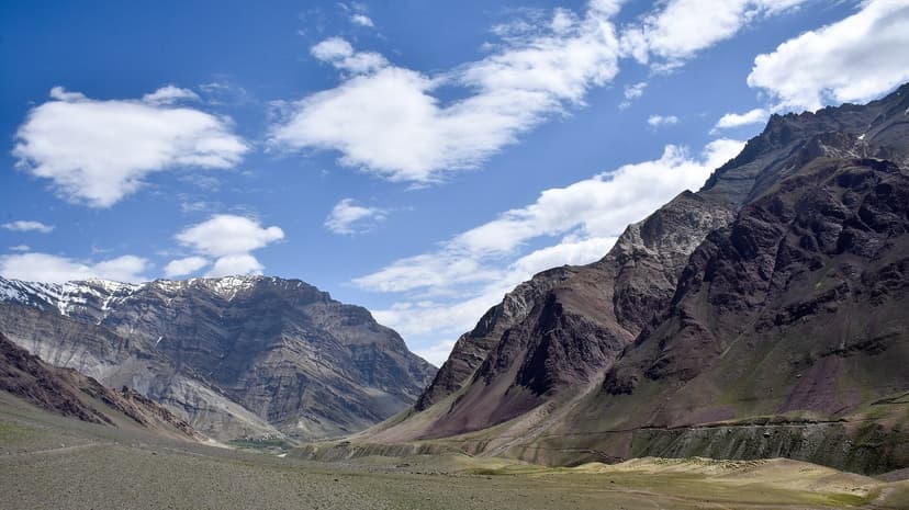
Fuel, cash, and signal. The three things that will ruin your trip
Fuel. One pump in all of Spiti. Kaza HPCL. The next pumps in either direction are Tapri / Powari in Kinnaur (about 250 km via Reckong Peo) and Tandi in Lahaul (about 200 km via Kunzum). There is nothing in between. If you are driving your own vehicle: fill up wherever you find a pump, never run below half a tank, and carry a five-litre jerry can. The Kaza pump opens around 8 a.m. and closes around 6 p.m.; outside those hours you will sit and wait.
Cash. Three ATMs in Kaza, SBI, PNB, Axis. All in the market block. Any one of them might be empty, out of power, or out of network on any given day. The safest move is to carry ₹15,000–20,000 in cash from Manali or Reckong Peo in ₹100 and ₹500 notes, and treat the Kaza ATMs as backup. Homestays in the smaller villages will not take UPI; some will not even take ₹2,000 notes because they cannot make change.
Signal. Past Reckong Peo (and past Manali on the other side), the only carrier that works is BSNL postpaid. Jio gets you Kaza town and nothing else. Airtel is dead in Spiti. Postpaid only. The old rule that prepaid SIMs from non-HP states do not work in the tribal belt is still being enforced. Pick up a BSNL postpaid SIM in Shimla or Manali a week before your trip if you want to be reachable. WhatsApp works on hotel Wi-Fi in Kaza, Tabo, and Nako, intermittently.
AMS: read this before you book the cab
Acute Mountain Sickness is the single most common reason people cut their Spiti trip short, and it is almost always preventable. The risk starts above 2,400 m (so, anywhere in Spiti) and gets serious above 3,500 m. Symptoms. Headache, nausea, sleeplessness, loss of appetite, the feeling of trying to breathe through a wet cloth. Usually start six to ten hours after a hard ascent.
The protocol that actually works:
- Sleep low, climb high. Never sleep more than 500 m higher than the previous night, after you cross 3,000 m.
- Spend the first night at Kalpa or Nako (3,000–3,660 m) before you push on to Kaza (3,800 m). Coming from Manali, this means doing Kaza on day 2, not day 1.
- Drink four litres of water a day. Yes, four. Yes, you'll need to stop a lot.
- No alcohol for the first 48 hours at altitude. No exceptions. The Old Monk advice is wrong.
- Diamox (acetazolamide), 125 mg twice a day, started 24 hours before you start the climb, if your doctor agrees. It is not a magic pill, it is a small accelerator on the natural acclimatisation process. Indian pharmacies sell it without much fuss.
- If symptoms get worse. Descend. Not "wait it out", not "sleep it off". Descend. A 500 m drop in altitude almost always fixes a developing case. Ignoring symptoms at altitude is how a manageable headache turns into HACE, and HACE kills.
The Spiti homestay grannies will offer you garlic soup. Drink it. There is no controlled trial that says it helps, but four generations of people who live up here believe it does, and you are going to be sleeping in their kitchen, so drink the soup.
When to actually go: the rain-shadow secret
The conventional advice is "go to Spiti in May–June or September–October, avoid the monsoon". The first half of that is half right. The second half is wrong, and it is the single most important thing to understand about timing a Spiti trip.
Spiti sits in the rain shadow of the main Himalayan range. The monsoon clouds that drench the rest of Himachal, Manali, Kullu, Dharamshala, Shimla. Hit the Pir Panjal and the Dhauladhar from the south, dump their water on the southern slopes, and arrive in the Spiti basin already wrung out. July and August in Spiti are dry, sunny, mild, and beautiful. The villages have green barley fields. The valleys are alive with seabuckthorn and wildflowers. The high passes are open. It is the only month of the year when you can do the full circuit easily and the weather is on your side.
The catch is the approach roads. The Manali-side approach passes through Kullu and Lahaul, both of which are firmly inside the monsoon zone, and where landslides on the road into Manali in July and August are routine. The Kinnaur side (NH-5) is even worse. The Sutlej valley is one of the most landslide-prone stretches of road in India during peak monsoon. So "Spiti is dry in July" is true, and "getting to Spiti in July is hard" is also true. The fix is to allow extra days for the approach and to accept that you may sit at a roadblock for half a day. The reward is that once you're in Spiti, the weather is the best of the year.
The other window is late September to early October. The rains have stopped, the approach roads have settled, the colours of the high villages turn from green to yellow to red, the air is the clearest it gets all year, and the night sky is at its darkest before the new moon. This is the photographer's window, and the stargazer's window. It is also when you should book a Refuje stay at one of our high-village homestays, because the night sky over Spiti at this time of year is one of the darkest in the country, Bortle Class 1 to 2, which is the same scale as the Atacama desert and the Australian outback.
May is gambling on Kunzum being open. Mid-October is gambling on it being open. November to April is the Kinnaur-side-only season. Possible, beautiful, but a different trip and a colder one.
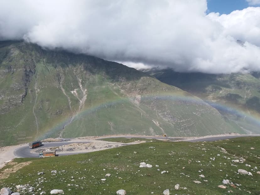
A 10-day Spiti loop that actually works
10-day Spiti loop (Shimla in, Manali out)
Day 1, Shimla → Sarahan. 170 km, 6 hours. Easy first day, climb from 2,200 m to 2,180 m. Bhima Kali temple in the evening.
Day 2, Sarahan → Sangla / Chitkul. 95 km, 4 hours including the Sangla detour. Sleep at Chitkul (3,450 m).
Day 3, Chitkul → Kalpa. 60 km, 2 hours. Acclimatisation day. Walk the apple orchards. Sleep at 2,960 m.
Day 4, Kalpa → Tabo. 170 km, 7–8 hours. Nako lake stop, Sumdo border, into Spiti. Sleep at Tabo (3,280 m).
Day 5, Tabo → Dhankar → Kaza. 80 km, 4 hours plus the Dhankar walk. Sleep in Kaza (3,800 m).
Day 6, Kaza base day. Half-day loop to Key, Kibber, Chicham Bridge. Top up fuel and cash.
Day 7, High villages. Langza (fossil village), Hikkim (highest post office), and Komic at 4,587 m (highest motorable village). Back to Kaza for the night, do not try to sleep at Komic unless you want a headache.
Day 8, Pin Valley / Mud (optional) or Ecosphere homestay night at Demul or Lhalung.
Day 9, Kaza → Chandratal. Cross Kunzum La in the afternoon, sleep at the campsite at 4,300 m.
Day 10, Chandratal → Manali. Down the Chandra valley, through Batal, over the Atal Tunnel, in Manali by evening.
Want a Kullu-side sanity check on your Spiti itinerary before you commit? Email us your draft. We will tell you which day is too ambitious, which homestay is worth the detour, and where the road has been rough this week.
What it actually costs in 2026
Spiti road trip costs, 2026
- Shared cab from Shimla / Manali (per seat, 9-day round trip): ₹14,000–18,000
- Homestays / budget guesthouses (double): ₹800–1,500
- Mid-range guesthouse in Kaza (double): ₹2,000–3,500
- Ecosphere community homestay night: ₹1,000 per person
- Meals at dhabas (per person per day): ₹400–700
- Fuel, Manali to Kaza to Manali (compact SUV): ₹6,000–9,000
- Permit (foreigners only, PAP at Reckong Peo): ₹250
- Chandratal camping (one night): ₹1,500–2,500 per person
- Total, 10 days, 2 people, shared cab + homestays: ₹35,000–50,000
- Total, 10 days, 2 people, private SUV + mid-range: ₹80,000–1,20,000
If you would rather have someone else do the cab paperwork and the homestay calls, write to us at hello@refuje.com. We will quote you a real number for the kind of trip you want, not the kind we want to sell you.
Things people ask me before they go
When does the Manali-Kaza road actually open in 2026?
The BRO targets 15 May for Kunzum La in a normal year. In practice it has been anywhere between 15 May and 20 June over the last five seasons, depending on snow load. The Gramphoo–Kaza restoration work that started in early April 2026 should help. Confirm with BRO Lahaul or the Kaza HRTC office before you commit.
Do I need a permit to enter Spiti as an Indian?
No. The Inner Line Permit for Indians on the Kinnaur-Spiti circuit was de-notified in April 2024. You can drive Shimla → Kaza → Manali on an Indian ID with no paperwork. Foreigners need the Protected Area Permit (PAP), ₹250 from the SDM office at Reckong Peo or ₹400 from Shimla.
Where can I get fuel between Manali and Kaza?
You cannot. There is no fuel anywhere on the Manali side of Spiti once you leave the Tandi pump near Keylong. The next pump is the Kaza HPCL, about 200 km later. Fill up in Manali, top up at Tandi if you can find it open, and carry a five-litre jerry can if you are driving yourself.
Is the road safe for a sedan / hatchback?
The Shimla side, yes — NH-5 is tarmac most of the way to Sumdo. The Manali side, no, not really. The Gramphoo–Losar stretch has deep nullahs and loose gravel that will eat the underside of a low car. Take an SUV with decent ground clearance, or take a shared cab and let the driver worry about the suspension.
Is it safe for solo women travellers?
Yes. Spiti has one of the lowest crime rates in Himachal Pradesh, the homestay culture is strong, and shared cabs from Manali and Reckong Peo are routine. The bigger risks are altitude, weather, and one-bus-a-day connections, all of which are easier to manage if you build slack into your itinerary.
Will my BSNL prepaid SIM work?
Almost certainly not. The HP tribal belt rule that only postpaid SIMs from local circles work is still being enforced past Reckong Peo. Pick up a BSNL postpaid SIM in Shimla or Manali if you want a working phone. Jio gets you intermittent signal in Kaza town and nothing else.
Can I do a one-week Spiti trip?
You can do a one-week one-way trip. Shimla → Kaza → Manali in seven days is comfortable, with one base night at Kaza, one at Tabo, and the rest spread along the route. You will not have time for Chandratal or Pin Valley. A 9–10 day trip lets you do both.
Is monsoon really safe?
Spiti itself is dry in July and August because it sits in the rain shadow. The approach roads (Manali side and Kinnaur side) are not. Allow extra days for landslide delays in July and August. The reward is the best weather of the year inside the valley.
Is altitude sickness a serious problem?
It can be, and it is the thing that ruins more Spiti trips than the road does. Climb gradually, sleep low, drink water, do not drink alcohol for the first 48 hours, and consider Diamox after a doctors nod. If symptoms get worse, descend — do not wait it out.
Can I camp at Chandratal Lake?
Not on the lake shore. Camping at the waters edge has been banned since 2014. The official campsites are about a kilometre below the lake, on the moraine flat. You walk up to the lake at sunrise and at sunset. The lake season is mid-June to mid-October only.
How much cash should I carry?
₹15,000–20,000 in ₹100 and ₹500 notes. Three ATMs in Kaza, all unreliable. Smaller villages do not take UPI and some will not take ₹2,000 notes because they cannot make change.
What about Indian motorcycle riders — Royal Enfield and so on?
This is one of the most popular RE Himalayan routes in India. Rentals in Manali run ₹1,500–2,500 a day for a Himalayan 410 or 450, and there are local mechanics in Kaza who know the bike inside out. Carry tubes, a basic puncture kit, a tow strap, spare clutch and accelerator cables, and ride only in daylight. The roads will pay you back if you respect them and bite hard if you dont.
A note before you go
I have driven this loop, in pieces and in full, every year since I learned to drive. It does not get old. What does change is the road, and the rules, and the number of cars. Atal Tunnel doubled the traffic in three years. Sumdo's BRO booth is new. The pump at Kaza is the only one and it is not going to get less crowded. Spiti is having its moment, and the moment is also a strain on a place that is not built for crowds.
The kindest thing you can do for it is to slow down. Spend more nights than you think you need. Eat at the family-run dhabas, not the new Instagram cafes. Sleep at homestays, not at the few new hotels. Give the priest at Tabo monastery the ten minutes of silence the place asks for instead of the camera shutter. If you are doing the eastern half of the loop, read my friend Ajay's village-by-village guide. He is from the Kinnaur side and he knows the back roads of Spiti better than I do.
And when you come out the other end, Manali after the loop, or Shimla. Sit down somewhere with a hot meal and a glass of water and try to remember what it felt like up there. The first thing you'll notice is how loud the world is at lower altitude. The second is how much you want to go back.
If you'd like Refuje to organise the Spiti side of your trip. Homestay rotation in the high villages, a stargazing night under the Bortle Class 1 sky at Komic, a vetted Manali-side cab driver who actually knows the road. Write to us at hello@refuje.com. We'll put you with the right people for the kind of trip you want, not the kind they want to sell you.
About Rajesh Thakur
Rajesh Thakur grew up in the Kullu valley and has been writing about Himachal Pradesh travel and culture since 2018. He's most at home in upper Kullu, Lahaul, and the Spiti circuit, and has done the Manali–Kaza loop more times than he's counted.
You Might Also Like
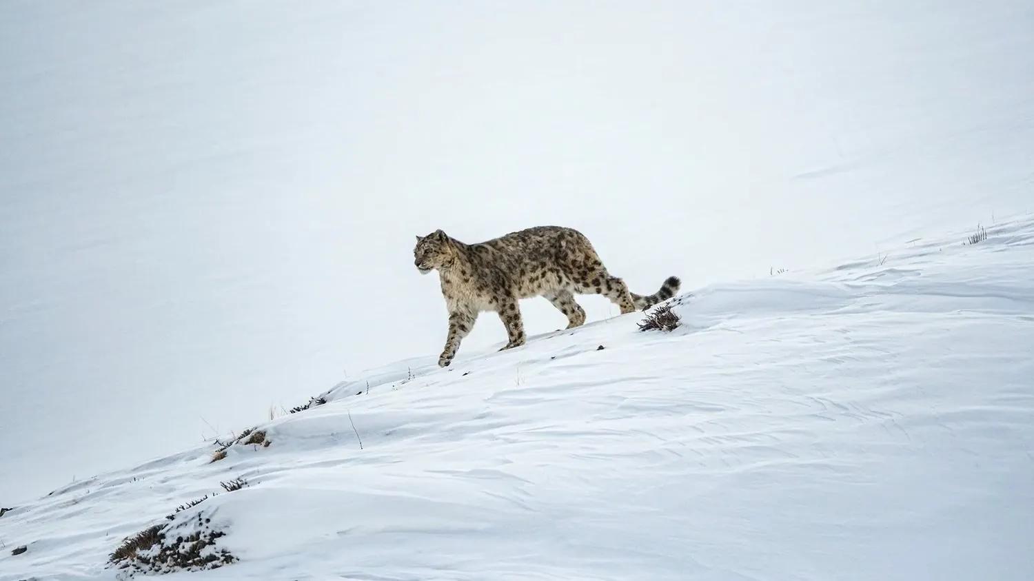
Snow Leopard Expedition in Spiti: Tracking Kibber's Ghost Cat
What a winter snow-leopard tracking trip to Kibber, Spiti is really like: honest sighting odds, the cost ladder, the conservation that funds it, the Kinnaur winter route, and how to view the cat without harming it.
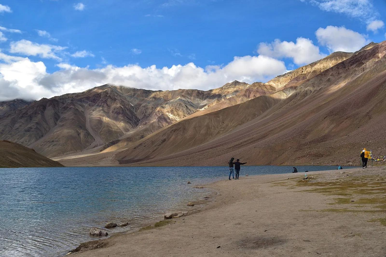
Chandratal Lake 2026: A Kinnauri Guide to the Eastern Approach
Chandratal opens late May to mid-June 2026. Lakeside camping is banned, the lake is a Ramsar wetland. Swiss tents Rs 1,200 to 2,500. The Kaza side via Kunzum beats a Manali day trip on every count except distance from Delhi.
The Atal Tunnel: How One Tunnel Changed Lahaul Forever
Six hundred and twenty-two percent. That is what the Atal Tunnel did to tourism in Lahaul Valley. Before October 2020, Lahaul was six hours from Kullu and cut off six months a year. After October 2020, it became 45 minutes. A before-and-after of what one tunnel did to one valley, told by a Kullu local who has been driving through the portal since the month it opened.