
HP Road Status 2026: How to Check Live Road Conditions in Himachal Pradesh
52 hours on the road to Manali
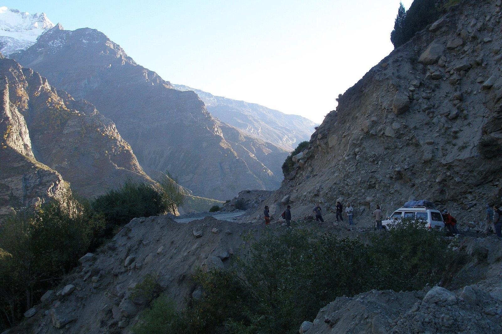
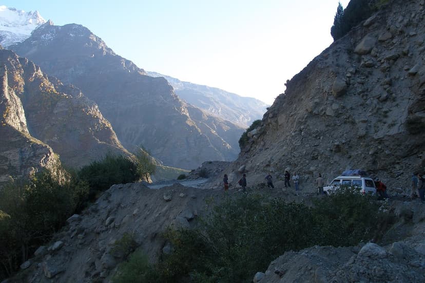
A Reddit user posted in August 2025: "Delhi to Manali took us 52 hours." A landslide between Mandi and Manali. No phone signal. No food vendors. Nobody telling them when the road would clear. They spent two nights in a parked bus on a mountain road.
That kind of stranding is preventable, mostly. The information exists. It is just scattered across a dozen different government portals, community trackers, social media accounts, and HRTC bus schedules, and most travellers do not know which sources are real-time and which are weeks out of date.
I live in Kullu. I drive these roads year-round, and I still check conditions before every trip out of the valley. Mandi district alone had 289 roads blocked at the peak of the 2023 monsoon. Across all of Himachal that season the totals were grimmer: 5,400 slope failures, 1,311 road closures, and 428 people dead, more than forty per cent of them in slope failures.
Those numbers are not from a freak year. That was a fairly normal HP monsoon. Each season the same cycle plays out across the same stretches of highway between Mandi and Manali. Crews widen the road in the dry months, the monsoon arrives and strips the freshly exposed hillside, traffic stops for days while machines clear rubble that would not have fallen if the slope had been left alone. The mountains are slowly becoming less stable, but a fair share of the instability is being caused by us. Ask anyone in Kullu.
The article below is the road-status reference I have wanted for a long time. Government portals, BRO updates, HRTC schedules, the CDRI landslide research, the community-run platforms like HimachalRoadStatus.com, the Reddit threads where travellers post real-time. Roughly 28 sources combined. The order in which to check them, the order in which they are honest about a road being closed, the order in which they update. Bookmark it before your next trip. Check it again during monsoon. It might save you 52 hours.
The road status stack: 15 resources ranked
Not all road status sources are equal. Government portals are authoritative but slow to update. Community platforms are fast but unverified. Social media is real-time but noisy. Here is how I use them, organized by reliability.
- Total resources listed
- 15+ across 4 tiers
- Most reliable for passes
- @BROindia on X
- Fastest real-time updates
- HimachalRoadStatus.com
- Best hidden indicator
- HRTC bus cancellations
- Emergency number (universal)
- 112 (works without SIM credit)
Tier 1: Official government sources
These are the most authoritative but not always the most current. Government websites update periodically, not in real time.
- Lahaul-Spiti District Road Status shows specific route conditions: Delhi-Manali, Manali-Keylong, Keylong-Kaza, Keylong-Leh. Check the "Last Updated" date. If it says March, the information is stale.
- Rohtang Permits Portal is a backdoor status check. If permits are available, the pass is open. If the portal shows nothing, Rohtang is closed. Simple.
- E-Aagman Portal handles vehicle entry registration for Lahaul-Spiti. If the portal is accepting registrations, the route is open.
- HP Road Safety Portal has advisories and accident data.
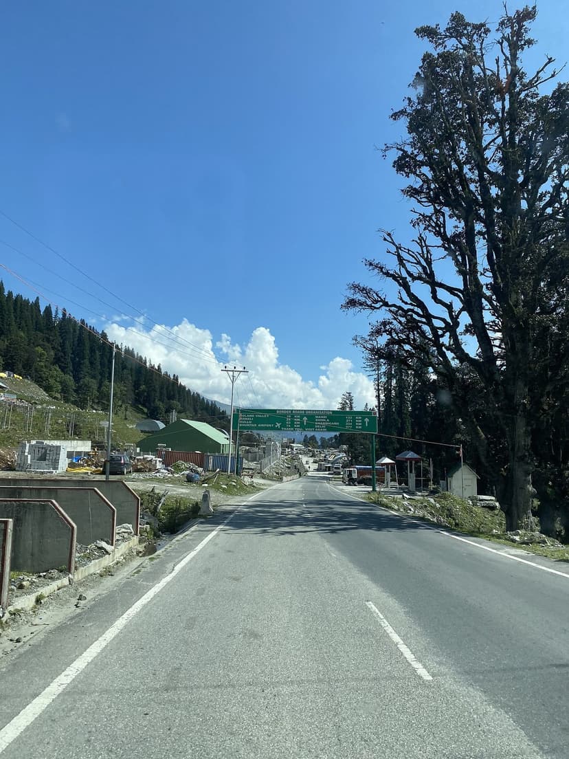
- BRO Official Website posts press releases on high-altitude road restoration. Not real-time, but authoritative for strategic roads like Rohtang, Kunzum, and Baralacha La.
Tier 2: Community and aggregator platforms
These update faster than government sources because they rely on travelers posting conditions in real time.
- HimachalRoadStatus.com is community-driven and crowdsourced. Fastest updates for all HP routes. Built by people who live here.
- ChalBanjare HP Road Status covers tourist-popular routes: Manali, Kasol, Jibhi, Dharamshala, Dalhousie. Updated regularly.
- DiscoverWithDheeraj has dedicated pages for Manali-Leh, Manali-Kaza, and Kinnaur-Spiti routes. The best single source for high-altitude highway status during season.
- Google Maps (Traffic Layer) works well for national highways where there is mobile signal. Useless for Spiti, Pangi, or Chandratal where phones have no coverage.
Tier 3: Social media (real-time community intelligence)
The fastest road status information in HP comes from social media. Follow these accounts before your trip:
- @BROindia on X: Snow clearance updates, road restoration announcements, pass opening dates. THE account for high-pass travelers.
- @PWD125810 on X: Official HP PWD road closure/opening announcements.
- @TTRHimachal on X: HP Traffic, Tourist and Railways Police. Traffic diversions, accident alerts, travel advisories.
- @himachalpolice on X: Emergency road closures and disaster alerts.
- BRO Official Page on Facebook (DGBRBRO): Photo and video updates of road restoration work. Very visual.
- Spiti Travel Community on Facebook: Daily road photos during season from travelers on the ground.
- Leh Manali Highway Travelers on Facebook: Highway-specific, very active May through October.
- r/HimachalPradesh on Reddit: Live travel Q&A with local knowledge.
Tier 4: Bus and transport status
This is the indicator nobody writes about. If HRTC has cancelled buses on a route, the road is closed. Period.
- HRTC Online Booking: Search your route. If "no buses available" for tomorrow, the route is likely blocked.
- HRTC Phone: 0177-2656326. Call and ask: "Is the [route] bus running today?" Direct, reliable.
- IMD Weather: Weather forecasts and rain/snow warnings. Use this to predict road closures 24-48 hours ahead.
Which resource for which route
Different roads need different sources. Here is the matrix I use.
| Route | Primary Resource | Notes |
|---|---|---|
| Delhi to Manali (NH-21) | Google Maps + ChalBanjare | Monsoon = check hourly. Mandi-Manali is the danger zone. |
| Manali to Leh (NH-3) | DiscoverWithDheeraj + hplahaulspiti.nic.in | Seasonal (May/Jun-Nov). BRO is THE authority. |
| Manali to Kaza via Kunzum | DiscoverWithDheeraj + @BROindia | Seasonal (mid-Jun to Oct). Kunzum Pass is the bottleneck. |
| Shimla to Kaza via Kinnaur (NH-5) | DiscoverWithDheeraj Kinnaur page | Open longer season. Nako-Kaza stretch = intermittent closures. |
| Rohtang Pass | rohtangpermits.nic.in + @BROindia | Closed Tuesdays. Permit = proxy for open/closed. |
| Atal Tunnel | eaagman.hp.gov.in + Google Maps | Open year-round. If it closes, its national news. |
| Kasol / Parvati Valley | HimachalRoadStatus.com + ChalBanjare | Flash flood zone in monsoon. Check before AND during travel. |
| Kinnaur (Kalpa, Sangla, Chitkul) | DiscoverWithDheeraj Kinnaur page | NH-5 Tapri-Karcham = worst landslide zone in HP. |
| Sach Pass (Chamba to Pangi) | @BROindia + community reports | Opens late (July). Least-maintained high pass in the state. |
How to read a BRO announcement
BRO uses military-style language that confuses tourists. Here is a decoder.
"Road restored" means machines have cleared the blockage. Road is passable. You can go, but check conditions on the approach.
"Snow clearance operations underway" means they are working on it. Road is NOT open. Do not attempt.
"Road open for 4x4 only" means seriously rough. Only high-clearance vehicles like Thar, Fortuner, or Bolero can pass. Do not go in a sedan or hatchback. Wait two to three weeks for all-vehicle access.
"Intermittent closure" means the road opens and closes depending on weather. You might get stuck. Have backup plans and enough food and water for 24 hours.
"Advisory: Avoid non-essential travel" is BRO telling you not to come. This is serious. Postpone your trip.
"Bailey bridge deployed" means a temporary military-style bridge replaces a damaged one. Cross slowly, one vehicle at a time, weight restrictions apply.
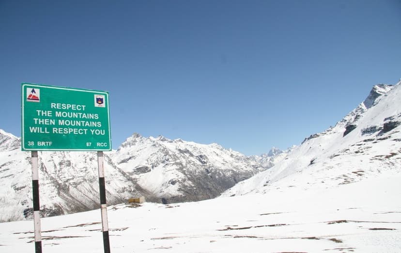
The thing to understand about BRO pass openings: when they announce "road open," that often means open for 4x4 that might get stuck and might not make it back the same day. Wait two weeks after the first announcement for a safe trip in a normal car. I have seen tourists in Hyundai i20s attempt Kunzum the day after first opening and turn around at the first water crossing.
When do the passes open and close?
Every high pass in Himachal has a personality. Rohtang opens early and forgives tourists who show up in flip-flops. Kunzum opens when it feels like it and punishes anyone who does not carry extra fuel, warm clothes, and the patience to wait three hours for a water crossing to subside. Sach Pass opens last, closes first, and does not forgive anything at all.
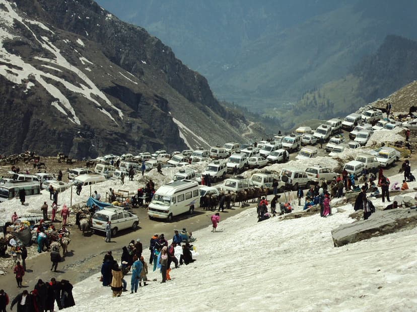
Rohtang Pass (3,978 m) typically opens mid-May and closes mid-November. In 2026, it opened May 17, about two weeks early. Closed every Tuesday for maintenance. Daily vehicle limit of 1,200. Check rohtangpermits.nic.in for daily status. The Atal Tunnel bypasses Rohtang entirely and is open year-round.
Kunzum Pass (4,551 m) is the gate between Manali and Kaza. It opens between late May and mid-June, with full access for all vehicles usually two to three weeks after initial opening. In 2025, it opened May 24 for 4x4 vehicles. BRO begins snow clearance in March and April. Follow @BROindia on X for the announcement.
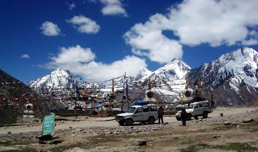
Baralacha La (4,890 m) is on the Manali-Leh highway. Opens late May to early June, closes late October. The critical thing about Baralacha: there is no shelter for over 100 km on either side. If you get stuck, you are sleeping in your car at 4,890 metres. Carry warm layers even in June.
Sach Pass (4,414 m) connects Chamba to Pangi Valley. Opens the latest (typically July) and closes the earliest (late October). The narrowest, least-maintained high pass road in the state. Single lane, cliff edge, no barriers. This is not a pass for first-timers or nervous drivers.
Jalori Pass (3,120 m) is the lowest of the famous passes. Open year-round for the most part, though it may close for one to three days in deep winter snowfall. If you are heading to Tirthan Valley or Jibhi, Jalori is your crossing and it rarely causes trouble.
Chandratal access road branches off the Kunzum-Kaza road. Unpaved, 14 km. Opens mid-June, closes early October. Only accessible when Kunzum is open.
The BRO snow clearance timeline: BRO starts clearing in March-April with heavy machinery working through 10 to 40 feet of snow. First opening is 4x4 only, no guarantee of return the same day. Full opening comes two to three weeks later when the road has been driven enough for all vehicles. Plan accordingly.
The 10 most dangerous road sections
Based on CDRI landslide risk assessment data and the 2023 monsoon statistics (Tribune India), here are the road sections where you are most likely to get stuck or face danger.
#1: Mandi to Manali (NH-21). The 52-hour delay road. Landslide corridor with steep cuts and unstable slopes. Worst in July and August. The widening project has made it worse, not better. As one Kullu local put it on Reddit: "We had no issues with the roads we had. The widening is absolutely unnecessary. Parwanoo-Shimla highway is still two lanes because the other two are always closed in landslides." He is not wrong.
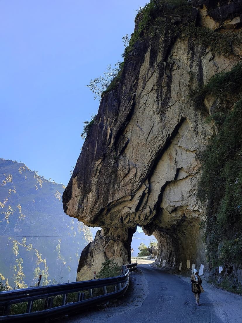
#2: Tapri to Karcham (NH-5). Active landslide zone on the Kinnaur highway, where the road is carved directly into the cliff face and boulders the size of cars fall without warning onto the carriageway. CDRI-mapped as high vulnerability. Worst July through September. The Taranda cliff section, where the road passes under a massive overhang of hanging rock, is the single most photographed danger point on any HP highway.
#3: Kasol / Parvati Valley approach. Flash flood zone where the valley narrows and the river rises fast. Off NH-21 at Bhuntar. One cloudburst upstream and the road is gone for days.
#4: Reckong Peo to Pooh (NH-5). Upper Kinnaur. Unstable slopes, cliff-edge road, falling rocks. If you have driven the Taranda cliff section, you know the road literally passes under hanging rock. That is normal here.
#5: Manali to Rohtang (old road). Steep gradients, waterlogging, visibility drops to zero in cloud. Mostly bypassed by the Atal Tunnel now, but if you are taking the old road to the pass itself, respect the conditions.
#6 through #10 in descending order: Aut to Sainj/Tirthan (narrow, river-adjacent), Dharamshala to McLeod Ganj (steep gradient, 3,000mm annual rain), Nako to Kaza (ice patches, unpaved sections), Keylong to Baralacha La (altitude, exposure, no shelter), and Killar to Kishtwar via Sach Pass (the narrowest, least-maintained cliff-edge road in the state).
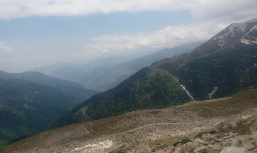
The monsoon danger calendar: June is moderate-high risk, go early in the month. July and August are extreme: peak landslide season, maximum road closures. Avoid Mandi-Manali, Kinnaur NH-5, and Kasol in these months. September is improving but still risky. October is the sweet spot: monsoon over, roads repaired, passes still open, clear skies.
Why the roads keep getting worse
I have watched this cycle for over a decade. The national highway authority widens a road. The widening cuts into the hillside, removing the root systems and soil that held the slope together. The next monsoon strips the hillside bare. Traffic stops for days while machines clear the rubble. Then they widen the next section, and the cycle repeats.
The Parwanoo-Shimla highway is the textbook example. It was a two-lane road that worked. They widened it to four lanes. Now two lanes are permanently closed due to landslides, and the road is worse than before widening started. The Mandi-Manali corridor is going through the same process right now.
A 2023 study by the Coalition for Disaster Resilient Infrastructure (CDRI) mapped the most unstable slopes along HP highways. Their data showed that road-widening zones had significantly higher failure rates than sections where the original road width was maintained. The mountains do not care about four-lane ambitions.
What this means for you: if you see fresh cutting and construction on a hillside during monsoon, that section is more likely to fail than an old, narrow, untouched road. The old roads were built with the mountain. The new ones are built against it.
One more Reddit quote worth repeating. A Jibhi to Chandigarh trip that should have taken five to six hours took twelve, because of "landslides and subsequent detours" (u/missmadime, r/india). Double your estimated travel time in monsoon. Triple it if the forecast shows rain for three or more consecutive days.
The rain-shadow secret
When everything floods, Spiti stays dry. The Spiti Valley sits in a rain shadow behind the Greater Himalayan range. While Mandi gets 289 road closures and Kasol floods, Kaza gets sunshine. The catch: your approach road through Kinnaur (NH-5) still has landslide-prone sections. The Atal Tunnel route via Manali avoids the worst of the monsoon on the approach, but Kunzum Pass may close intermittently.
If you are set on monsoon travel in HP, Spiti via the Atal Tunnel and Kunzum (when open) is your safest bet. For a complete monsoon routing guide, see our Spiti Valley Road Trip Guide.
HRTC bus cancellations: the hidden road indicator
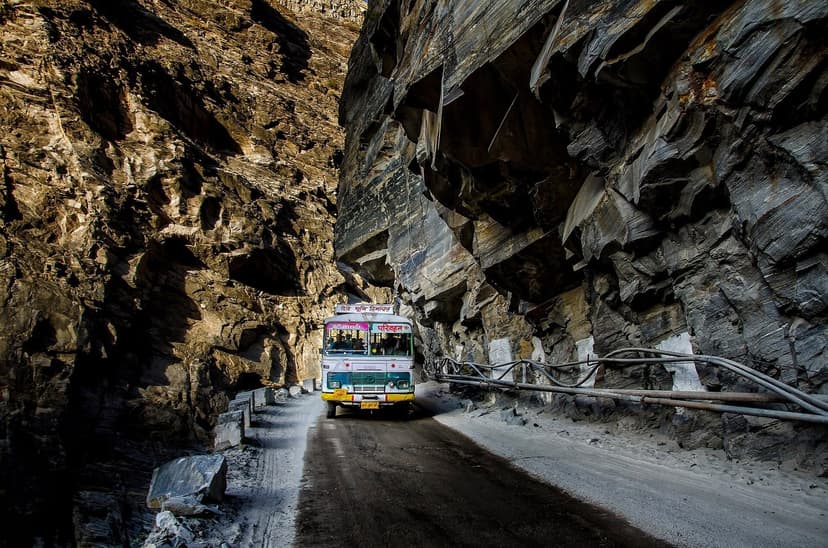
Nobody writes about this, but it is the most reliable single indicator I know. HRTC runs buses on almost every HP route. They are the backbone of hill transport, and their drivers know these roads better than anyone because they drive them every single day in every weather condition, including the conditions that would make most tourists turn around and go home. If HRTC has cancelled a route, the road is closed or too dangerous. Full stop.
Go to online.hrtchp.com, search for your route, and check if buses are available for tomorrow. "No buses available" equals road likely blocked. You can also call HRTC directly at 0177-2656326 and ask: "Is the [route] bus running today?"
From Reddit (r/desitravellers, 60+ comments): "I did most of my Himachal trip using HRTC buses. Great option for solo travelers on a budget." The Himsuta Volvo service is the most reliable and safest, according to Reddit consensus. Book via hrtchp.com.
Your three-level intelligence stack
Here is how experienced HP travelers check conditions. I use this same process every time I drive beyond Kullu.
- Level 1: Before your trip (1-2 weeks out). Check official sources (hplahaulspiti.nic.in, BRO, rohtangpermits.nic.in). Follow @BROindia and @TTRHimachal on X. Read the DiscoverWithDheeraj page for your specific route. Check HimachalRoadStatus.com.
- Level 2: Day before and morning of travel. Check Google Maps traffic layer for your route. Search X for your route name + road (most recent posts). Check ChalBanjare live status. Call HRTC at 0177-2656326 to confirm buses are running.
- Level 3: On the road (real-time). Ask your hotel or homestay. Ask truck drivers and HRTC bus drivers at stops. Ask oncoming traffic: drivers coming from where you are heading know what is ahead. Join HP travel WhatsApp groups through your hotel.
For WhatsApp groups: links expire constantly, so I will not list specific ones. Ask your hotel to add you to a local road status group. Ask your taxi driver. Check Facebook HP travel groups where invite links are shared in posts. The locals always know before the websites do.
Practical driving tips from someone who lives here
A few things I have learned from driving HP roads year-round that no official resource will tell you.
Start early. The roads are calmest between 5 AM and 10 AM. In monsoon, most landslides and rock falls happen in the afternoon and evening when accumulated rain destabilizes slopes. In winter, ice melts by mid-morning and refreezes at dusk. The morning window is your safest bet on any mountain road in HP.
Drive on the mountain side, not the valley side. On narrow roads without barriers, you want to be the vehicle closest to the hillside. If you are on the outer edge, one wrong move is a 500-metre drop. Let oncoming traffic take the outer lane. Flash your lights and honk before blind turns.
Never park under a cliff or below a waterfall. Rock falls are random and often happen without warning. If you stop for a break, pull over to a wide, flat section away from overhanging rock. I have seen a boulder the size of a car hit the road 30 metres ahead of me near Karcham. No warning. No sound before impact.
Carry a physical map. Google Maps works on major highways but is useless in Spiti, Pangi, and the Chandratal area. Download offline maps before you lose signal, but also carry a paper map of your route. The HPTDC tourist map of HP is sold at most bookshops in Shimla and Manali for about Rs 50. Worth every paisa.
Talk to truck drivers. They drive these roads daily and know conditions ahead better than any website. At every dhaba stop, ask the truck drivers: "Aage road kaisi hai?" (How is the road ahead?). They will give you more current intel than any app. They also know where the police checkpoints are, where the nallahs are flooding, and which stretch had a slide that morning.
Related reading: Our Spiti Valley Road Trip Guide covers the Manali-Kaza route in detail. Our HP Permits 2026 Guide covers Rohtang permits, inner line permits, and the new Sumdo SADA fee.
Emergency numbers and what to carry
| Service | Number | Notes |
|---|---|---|
| Unified Emergency | 112 | Works even without SIM credit |
| Road Accident | 1073 | Specifically for road accidents |
| Tourist Helpline | 1363 | HP-specific tourism emergencies |
| Ambulance (EMRI) | 108 | Faster than 102 in HP |
| HRTC route confirmation | 0177-2656326 | Check if buses are running |
| HP Tourism Office | 0177-2625924 | General tourism inquiries |
Hospital access by route: Shimla has IGMC Hospital, the best in HP with full trauma care. Mandi and Kullu have zonal/regional hospitals on the Mandi-Manali corridor. Dharamshala has a zonal hospital. Reckong Peo in Kinnaur has a basic civil hospital. Kaza in Spiti has a community health centre that is very limited: serious cases evacuate to Kullu, which is over 10 hours away. Keylong in Lahaul has a basic civil hospital for emergencies only (01900-202211).
If you are going above 3,500 metres or into areas with no mobile coverage, carry: fully charged phone with offline Google Maps downloaded, a BSNL SIM (works where Jio and Airtel do not), Rs 10,000 to 20,000 in cash (no ATMs, no UPI without signal), basic first aid kit plus Diamox for altitude sickness, water and snacks for 24 hours (you may be stranded), warm layers even in summer (nights at altitude are cold), and a power bank.
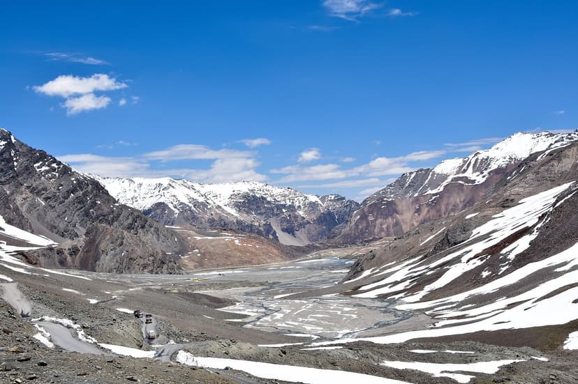
If you have no signal and are stranded, flag down passing vehicles. Truck drivers on high-altitude routes often know the nearest police checkpoint. On the Manali-Leh highway, BRO maintains checkpoints at most pass crossings during season.
No signal zones: Large stretches of Spiti, Pangi Valley, and the Chandratal area have zero mobile coverage. Not weak signal. Zero. Download your maps offline, tell someone your itinerary, and carry enough supplies to wait 24 hours if the road closes behind you.
Bookmark this: the quick reference
Screenshot this section or bookmark this page. These are the five links and three numbers you need most.
Five links:
- HimachalRoadStatus.com (real-time, all routes)
- hplahaulspiti.nic.in/road-status (Lahaul-Spiti official)
- rohtangpermits.nic.in (Rohtang open/closed)
- online.hrtchp.com (bus status = road status)
- DiscoverWithDheeraj.com (high-altitude highways)
Three numbers:
- 112 (unified emergency, works without SIM credit)
- 1363 (HP tourist helpline)
- 0177-2656326 (HRTC, ask if buses are running)
Planning a trip through Himachal and want route-specific advice? Write to us at hello@refuje.com with your dates and route, and we will tell you what to check.
Frequently asked questions
How do I check HP road status online?
The best resources are HimachalRoadStatus.com for crowdsourced real-time updates, hplahaulspiti.nic.in/road-status for official Lahaul-Spiti route status, Google Maps with traffic layer for real-time conditions on national highways, @BROindia on X for high-altitude pass updates, and ChalBanjare.com for tourist route status. Check at least two to three sources before traveling.
When does Rohtang Pass open in 2026?
Rohtang Pass opened on May 17, 2026, about two weeks earlier than usual. It typically opens mid-May and closes mid-November. Check rohtangpermits.nic.in for daily status. Rohtang is closed every Tuesday for maintenance. The Atal Tunnel bypasses Rohtang and is open year-round.
When does Kunzum Pass open?
Kunzum Pass typically opens between late May and mid-June, with full access for all vehicles two to three weeks after initial opening. In 2025, it opened May 24 for 4x4 vehicles. Follow @BROindia on X for announcements.
Is Google Maps accurate for HP road conditions?
Google Maps traffic layer is accurate for major highways (NH-21, NH-44, NH-5) where there is mobile signal. It does not cover areas without signal (Spiti, Pangi, Chandratal), does not show "road is open but dangerous" conditions, and may not reflect very recent landslides. Use Google Maps as one source alongside community platforms.
What are the most dangerous roads in Himachal Pradesh?
The most dangerous sections during monsoon are Mandi-Manali corridor (NH-21) with its landslide corridor, Tapri-Karcham (NH-5, Kinnaur) with its active landslide zone, and Kasol/Parvati Valley with flash floods. In 2023, HP recorded over 5,400 slope failures and 1,311 road closures. Avoid these routes in July and August.
Are HRTC buses a good indicator of road conditions?
Yes. If HRTC has cancelled buses on a route, the road is almost certainly closed or dangerous. Check online.hrtchp.com. If no buses are available for your route tomorrow, reconsider your travel plans. You can also call HRTC directly at 0177-2656326.
What emergency number should I call if stranded on an HP road?
Call 112 (unified emergency, works even without SIM credit). For road accidents specifically: 1073. For tourist emergencies: 1363 (HP-specific helpline). If you have no signal, flag down passing vehicles.
When is the best time to drive in HP to avoid road problems?
October is the sweet spot: monsoon is over, roads are repaired, passes are still open, skies are clear. May and June are also good for most routes. Avoid July and August on monsoon-prone corridors. November to April means most high passes are closed but lower routes are fine.
What does "road open for 4x4 only" mean?
When BRO first clears a high pass, conditions are rough with slush, loose gravel, and water crossings. Only high-clearance vehicles like Thar, Fortuner, or Bolero can pass. Sedans and hatchbacks cannot. Wait two to three weeks for all-vehicle access.
How do I find HP road status WhatsApp groups?
Links change frequently. Search "Himachal Pradesh Travel WhatsApp Group" online for current links. Ask your hotel or homestay to add you to local groups. Ask taxi drivers. Check Facebook HP travel groups where invite links are shared.
Can I drive to Spiti Valley during monsoon?
Yes, but only via the Shimla-Kinnaur route (NH-5), and with caution. Spiti itself is dry (rain shadow). The danger is on the approach roads. The Manali-Kunzum route may close intermittently. The Atal Tunnel approach avoids the worst monsoon corridors.
How does the Atal Tunnel change HP travel?
The 9.02 km Atal Tunnel is open year-round and bypasses Rohtang Pass entirely. Before the tunnel, Lahaul was cut off for six months every winter. Now you can reach Keylong and Sissu in any season. It has never had a seasonal closure.
Still have questions about HP road conditions for your specific dates and route? Drop us a line at hello@refuje.com.
You Might Also Like
Volunteering in Himachal Pradesh: 12 Organisations and How to Apply (2026)
Teach English in McLeod Ganj, conserve the Great Himalayan National Park, build with earth in Bir, or harvest apples in Kullu. Twelve real HP volunteer organisations with honest costs, the visa rule that gets foreigners deported, and how to apply.
How to Travel Himachal Without Wrecking It: A Quiet-Travel Manual
A non-preachy field manual for responsible travel in Himachal, by a Kullu local: how to behave, when to go, where to go instead, and the 2026 rules and bans that actually matter.
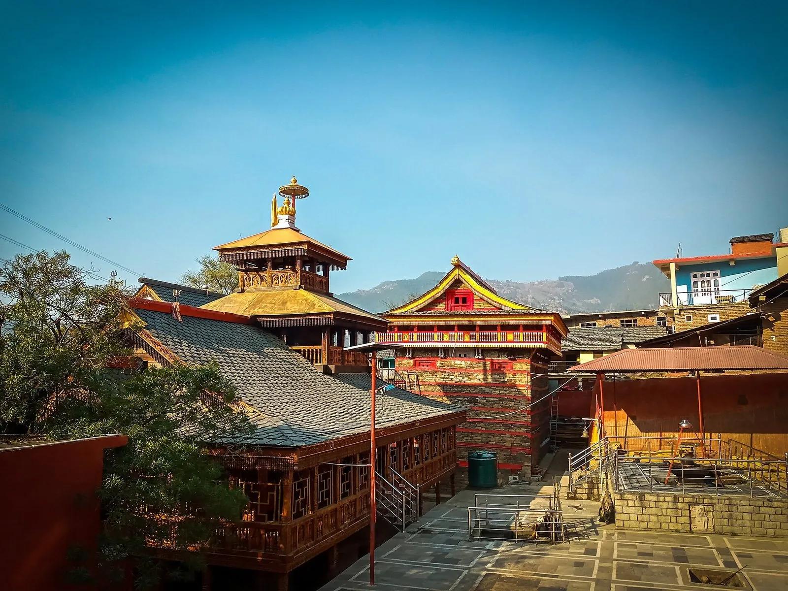
Mamleshwar Mahadev: The Eternal Flame Temple of Karsog
An eternal fire, a fist-sized wheat grain and a six-foot drum, kept in a mortar-less timber temple in the quiet Karsog valley. The honest story of Mamleshwar Mahadev: what is real, what is faith, and how to go.