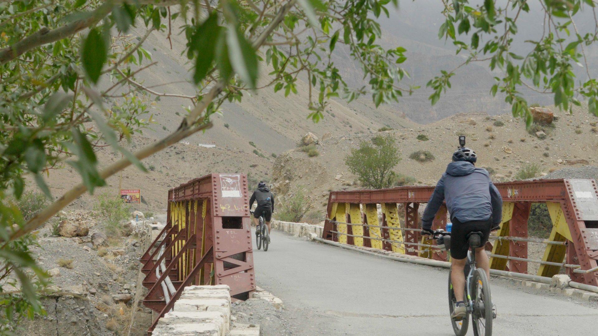
Great Himalayan Bikepacking Trail
One grand route from the Shivaliks into the cold desert edge of Tibet.
- Distance
- 355 km (one side)
- Duration
- 8–9 days
- Elevation gain
- +14,319 m gain
- Avg grade
- 36.9%
- Basecamp
- Shimla
- Best months
- May – September
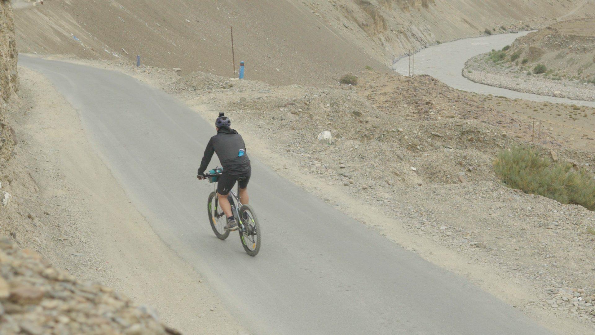
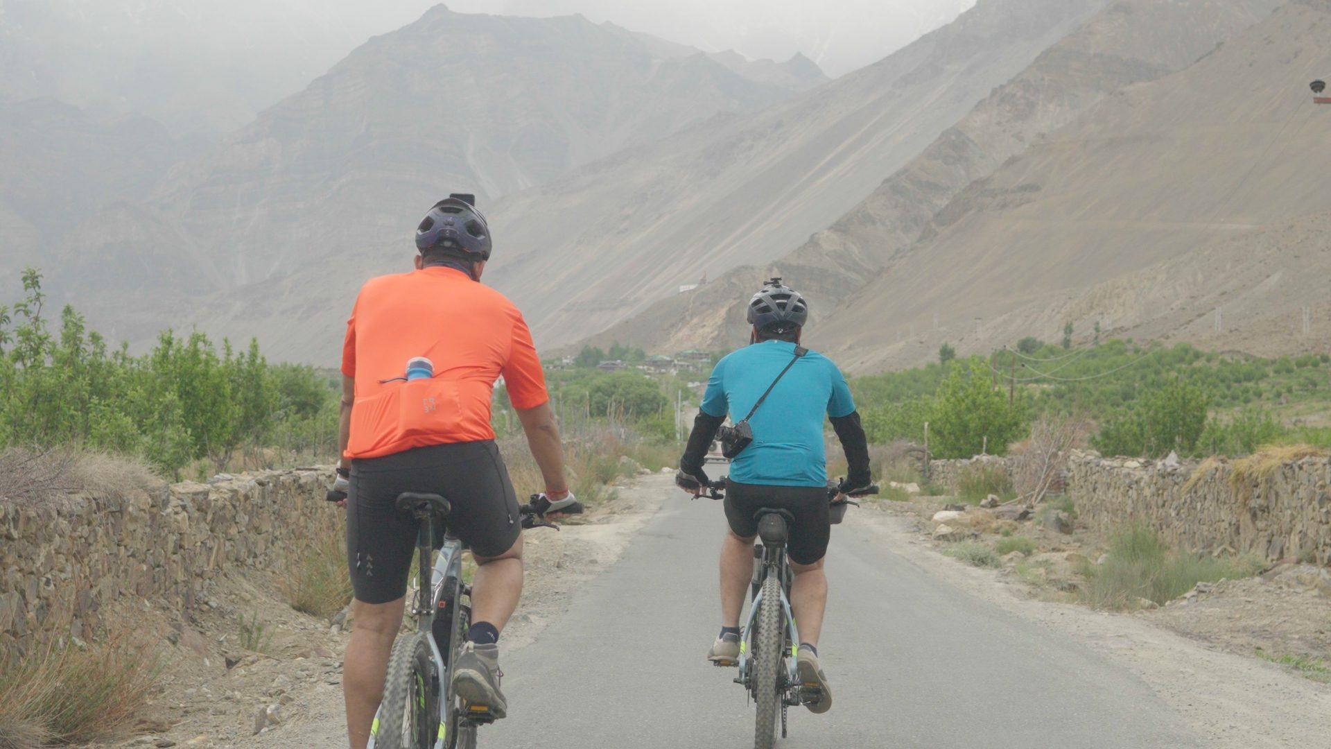
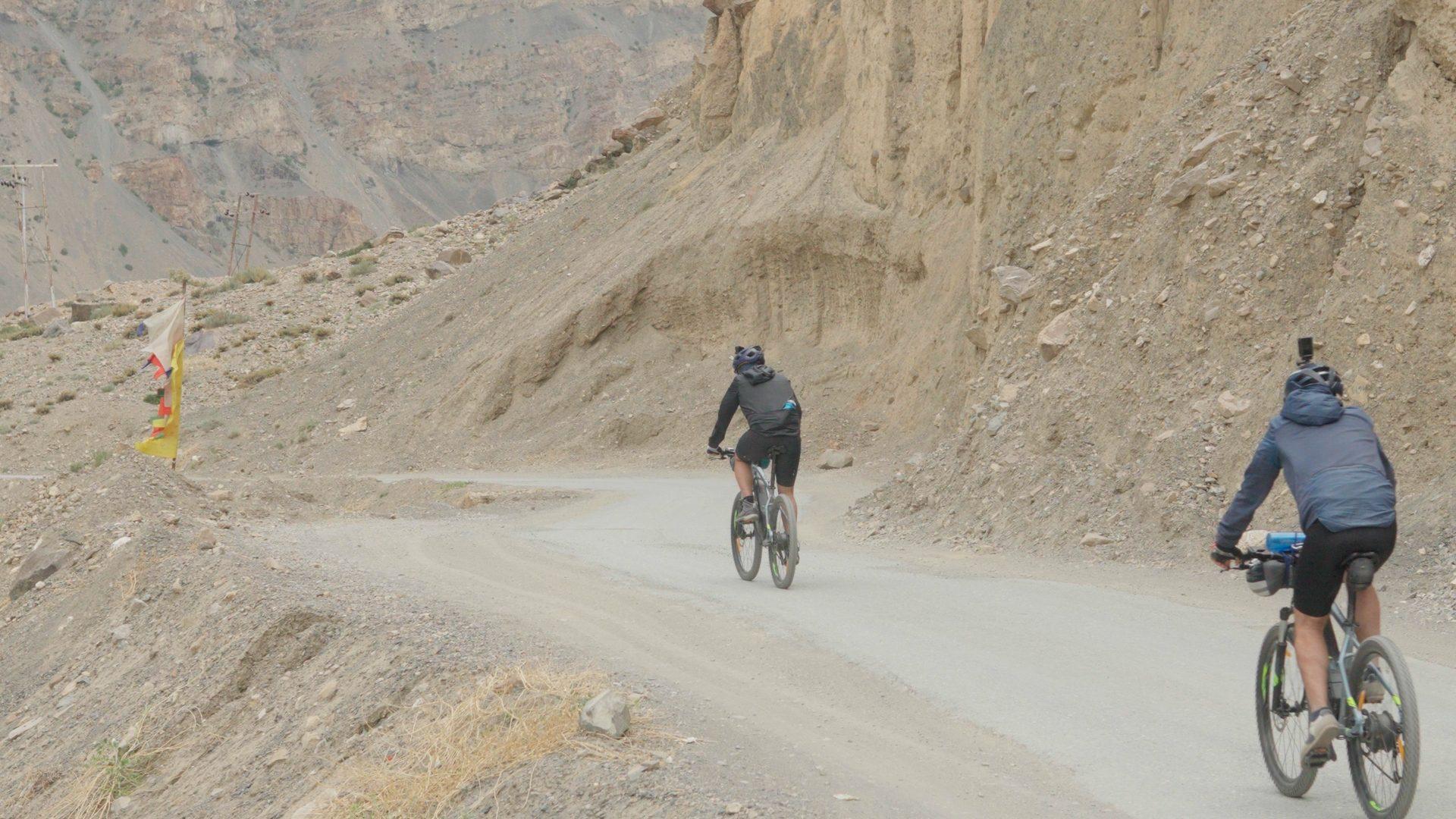
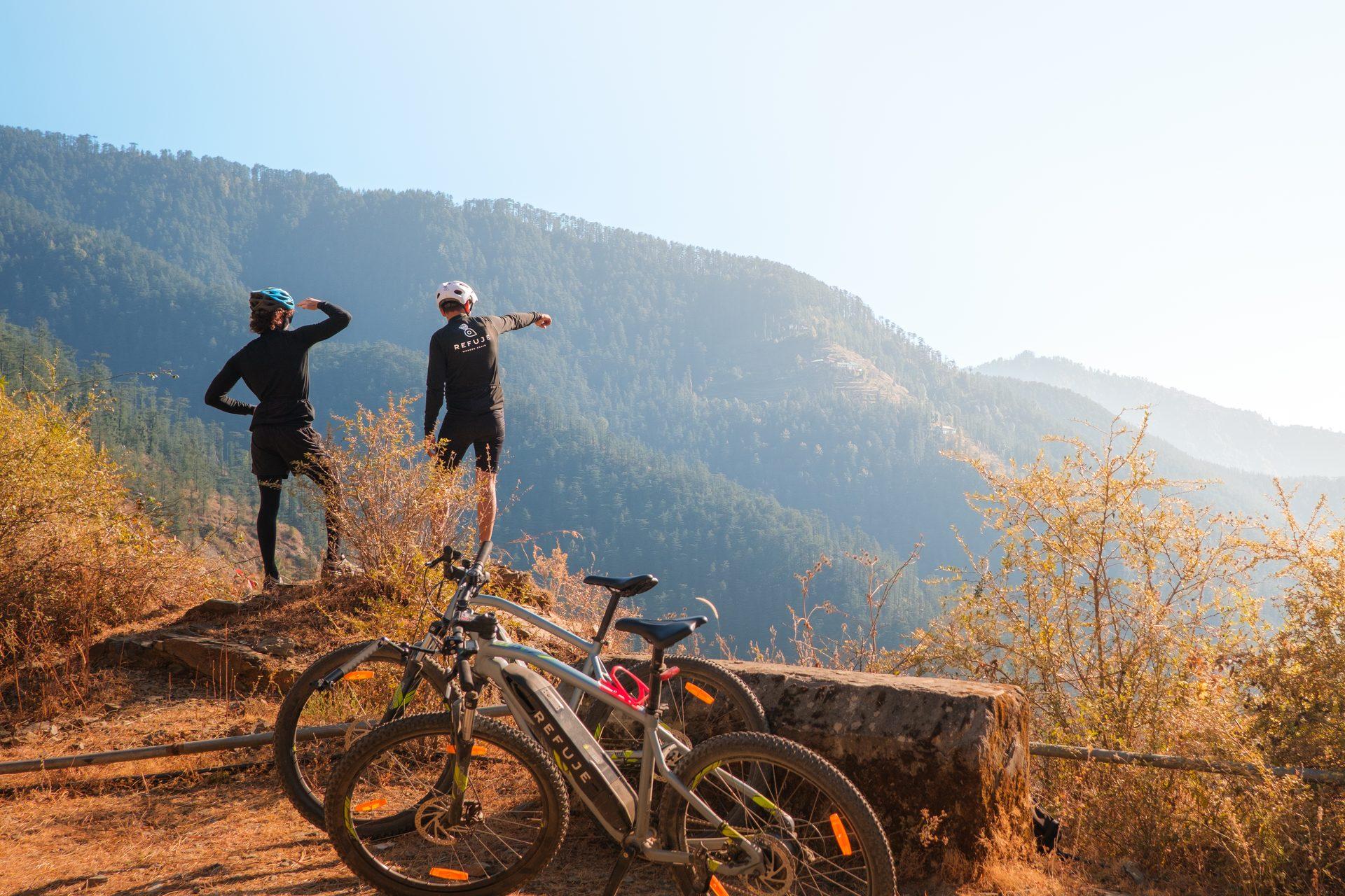
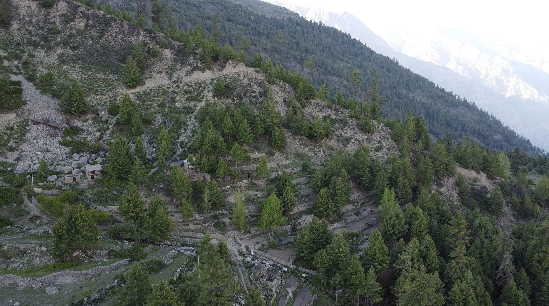
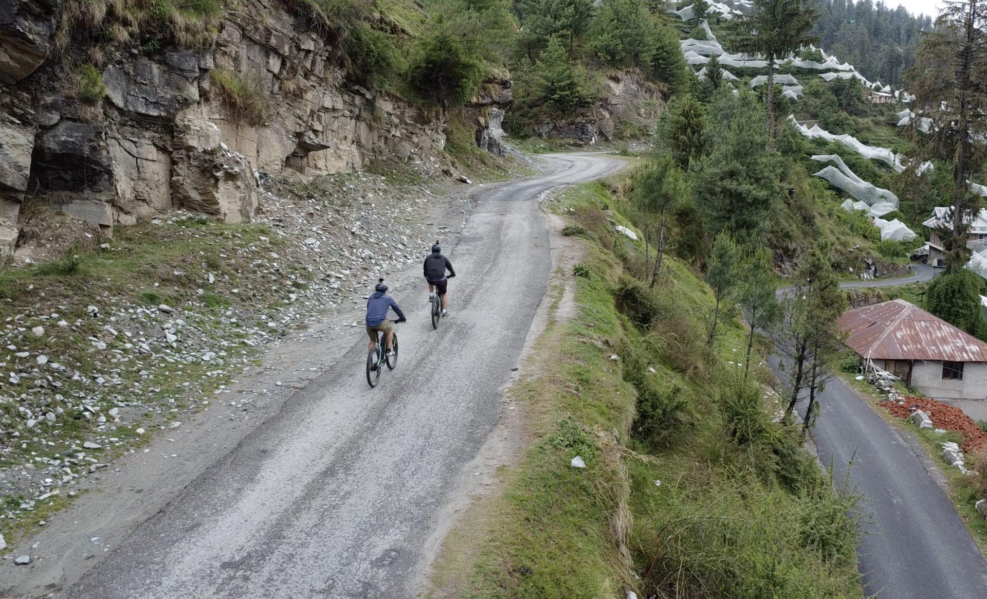
The Great Himalayan Bikepacking Trail is the route the other three loops build towards. It leaves the Shivalik ranges in a day and climbs steadily into the Greater Himalaya — past the fruit-bearing orchards, past the temples and monasteries, past the last reliable phone signal, into the high cold desert where the rivers run grey with glacial silt.
You cross villages high in the mountains and drop into the gorge the Sutlej flows through, riding between village houses that have stood for a hundred years and settlements that sit higher than almost anywhere people live in India. The riding is not technical, but the altitude — and its offbeat nature — is real. Most days you are above 2,200 m, and the air and the sun both give back less than you are used to.
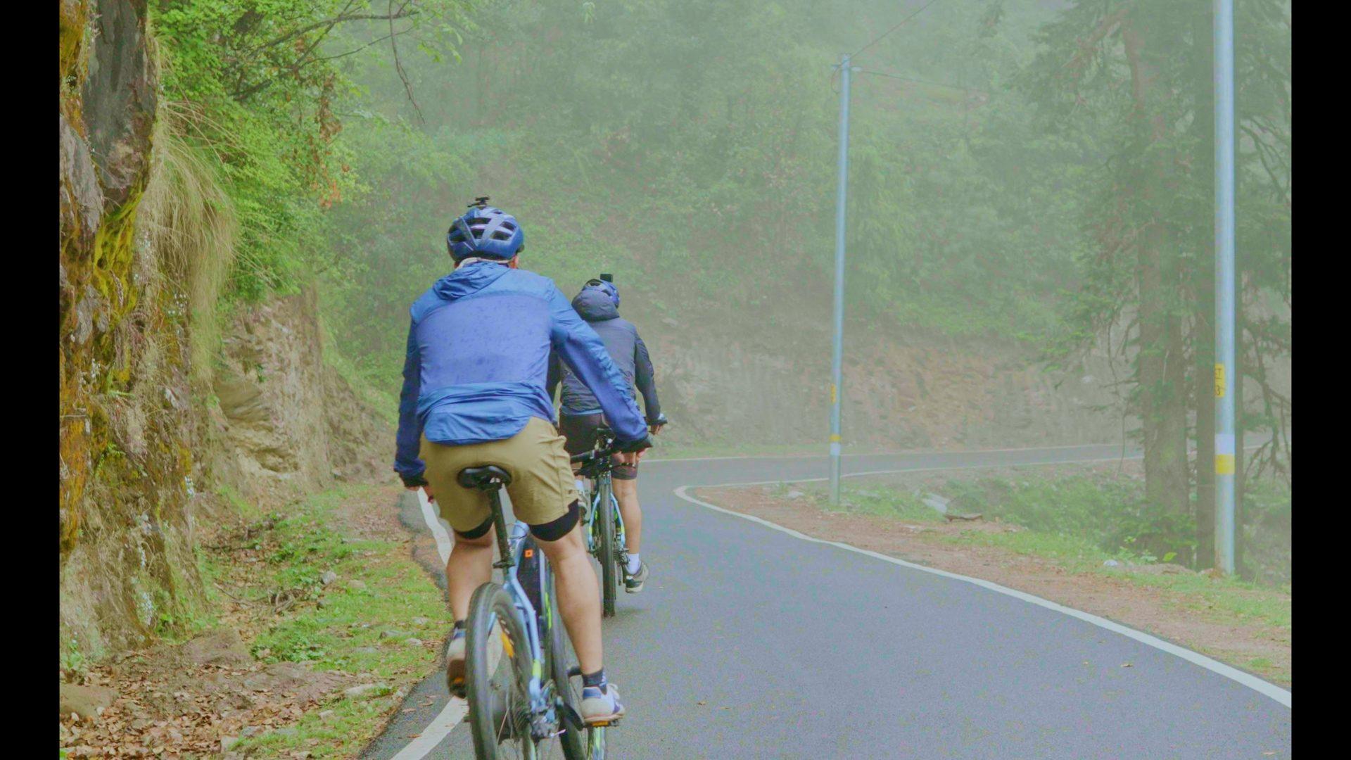
It is a supported trail, but can be done solo if you have enough experience under your hood. A backup vehicle carries what you need and shadows the riding group, the inner-line permit for the restricted stretch is arranged in advance, and there is a guide who has ridden this ground in every kind of weather it throws at you.
Highlights
- Ride the ridge lines before entering the Greater Himalaya
- The historic Hindustan–Tibet (Silk Route) road
- Terrain that changes every 100 km
- Inner-line permits and a support vehicle on request
How the route runs
Day 1–2
Pines & Deodar line
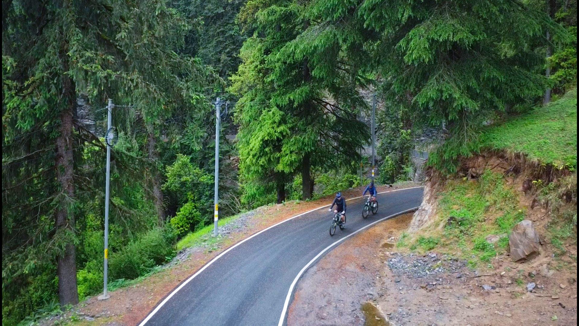
Ease up through deodar forest and apple country, sleeping low (under 2,700 m) while the body starts to adjust to the altitude.
Day 3–4
Himalayan fir line
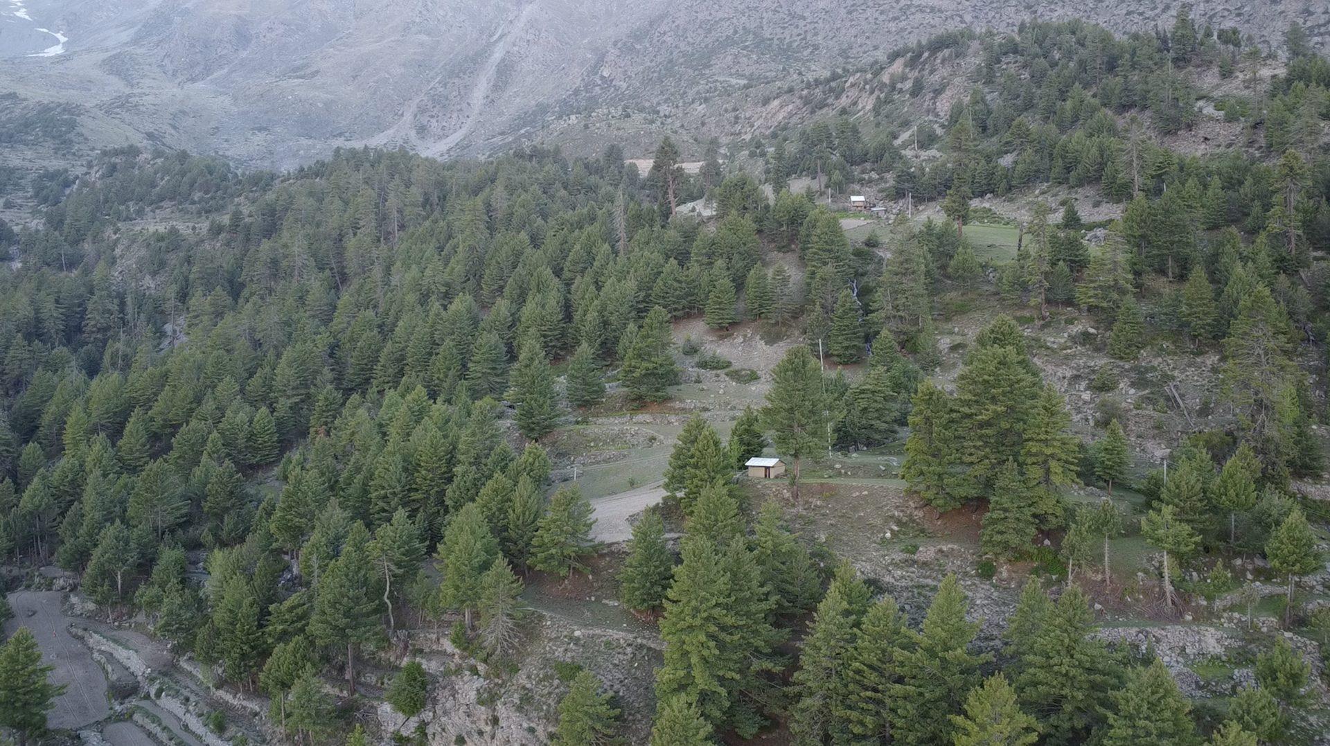
The long climb to Shraikoti and the first descent into Kinnaur. Short distances, big altitude, tall tosh trees, rougher mountains and wildlife sanctuaries. The highest pass crossed is 3,080 m.
Day 5–6
Chilgoza line
Rolling between Sarahan and Jangi, with time off the bike to explore in and around Kalpa and acclimatise north of 2,900 m.
Day 8–9
Barren edge
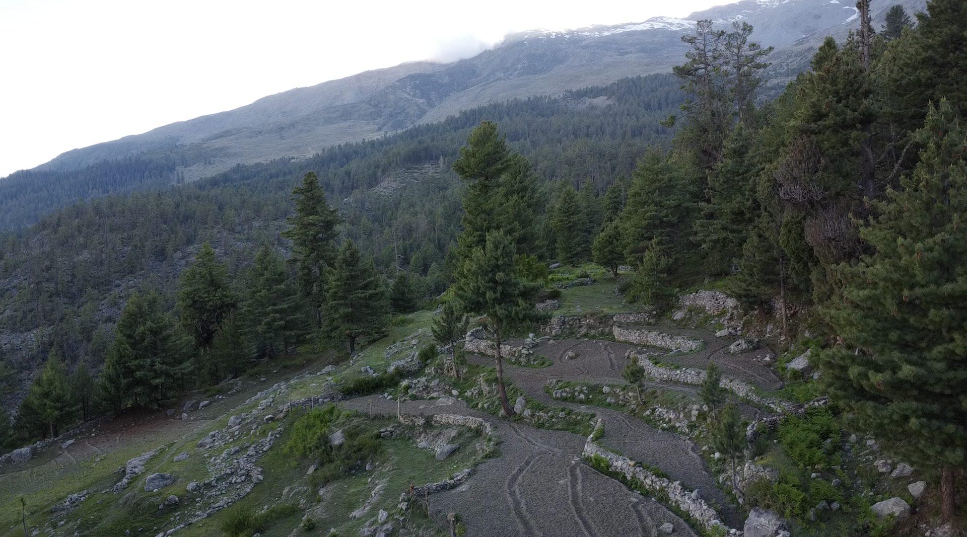
Barren, quieter, lunar stretches of upper Kinnaur along the Sutlej, before the route turns towards Tibet.
Permits & access
The restricted section requires an inner-line permit, which the support team arranges before you arrive. Carry a government photo ID. Routes and dates depend on the higher passes being open — typically June to early October.
On the route